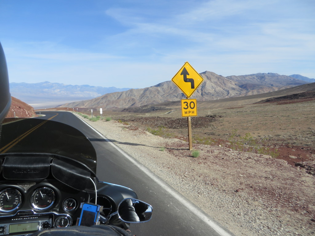
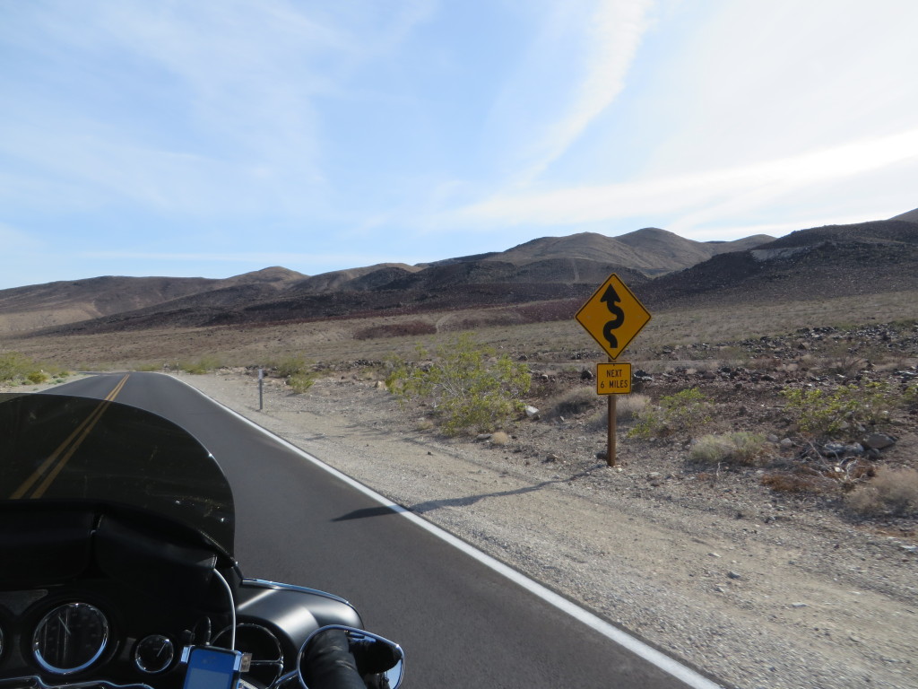
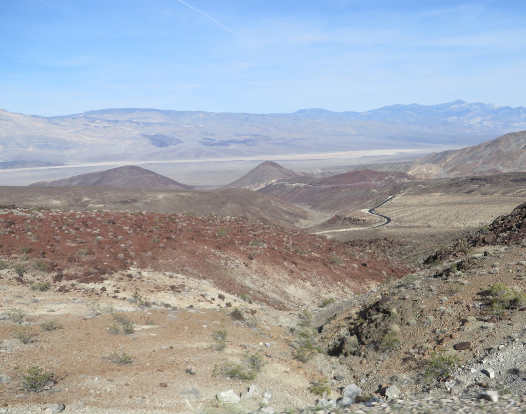
April 23, 2014 – Leaving in 40 degree weather, Furnace Creek Ranch in Death Valley National Park is our overnight destination. Heading south on US395, we travel along the Walker River, over Conway Summit at at 8,138 feet in elevation, along Mono Lake, into the Inyo National Forest rolling through Bishop, Big Pine and Independence. Passing by the Manzanar National Historic Site, we roll on to Lone Pine which is also an access for both Mt. Whitney and Death Valley, the highest and lowest points in the contiguous United States. Turning onto CA136, we merge onto CA190. The temperature begins to warm as we approach the park’s boundary. The road is well maintained, and patrolled by the California Highway Patrol (passing by two of them on patrol). With many twisties, we descend lower into the park.
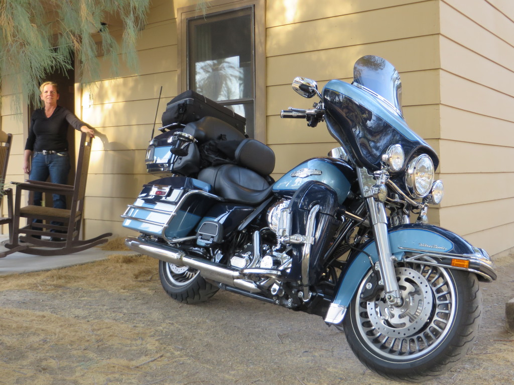
It is 86 degrees when we arrive at Furnace Creek, our overnight destination. We stayed in one of the quaint cabins located at the Ranch, relaxing on the front porch.
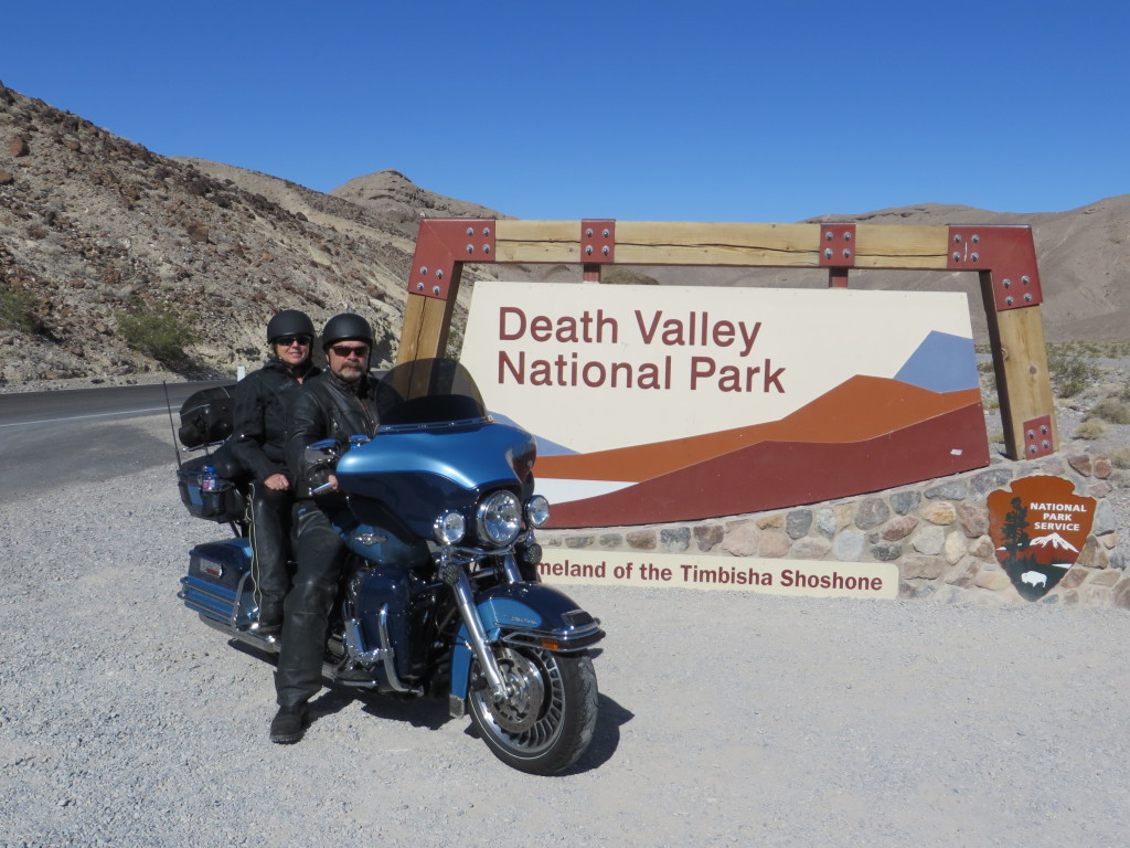
Having ridden through the park many times, I decided to spend one night. While we enjoyed the overnight stay, everything in the park is overpriced, including food, beverages, gasoline and lodging. Leaving the next morning, we made a quick stop at the park’s eastern entrance for a photo.
CA127 is a well maintained, scenic state route with minimal traffic and services. Arriving in Baker, we find ourselves refueling with hundreds of other motorcycles enroute to Laughlin, Nevada for the annual Laughlin River Run. Continuing east on I-15, we leave the interstate for Nipton Road, a short cut to Searchlight, Nevada. It is deteriorating and occasionally feels like a wash board, so should be ridden with some extra caution due to surface imperfections. Crossing into Nevada the highway becomes NV164, improving in both quality and scenery. South on US95, the speed limit increases, but so does the wind. Turning onto NV163 we have a strong head wind before dropping down to Laughlin where the temperature is well in the 80’s. It’s time to shed the leathers and find a cold beverage. Browsing the event vendors for a while, we decide to get out of town as we have no intentions of staying in the highly overpriced lodging. On Wednesday, day before the event officially starts, you can get a room for $35 bucks. Starting Thursday, the prices climb to a steep $300 plus per night with usually a two or three night minimum stay! Been there, done that, its time to move on towards Route 66 and the real purpose of this journey.
Staying at the Best Western Plus – Wayfarer’s Inn in Kingman, the accommodations are top notch. We found it to be a motorcycle friendly establishment, and its a good thing as there was a large contingent of touring motorcyclist staying there, including a large HOG (Harley Owners Group) from Austria all on rented Harley Davidson motorcycles.
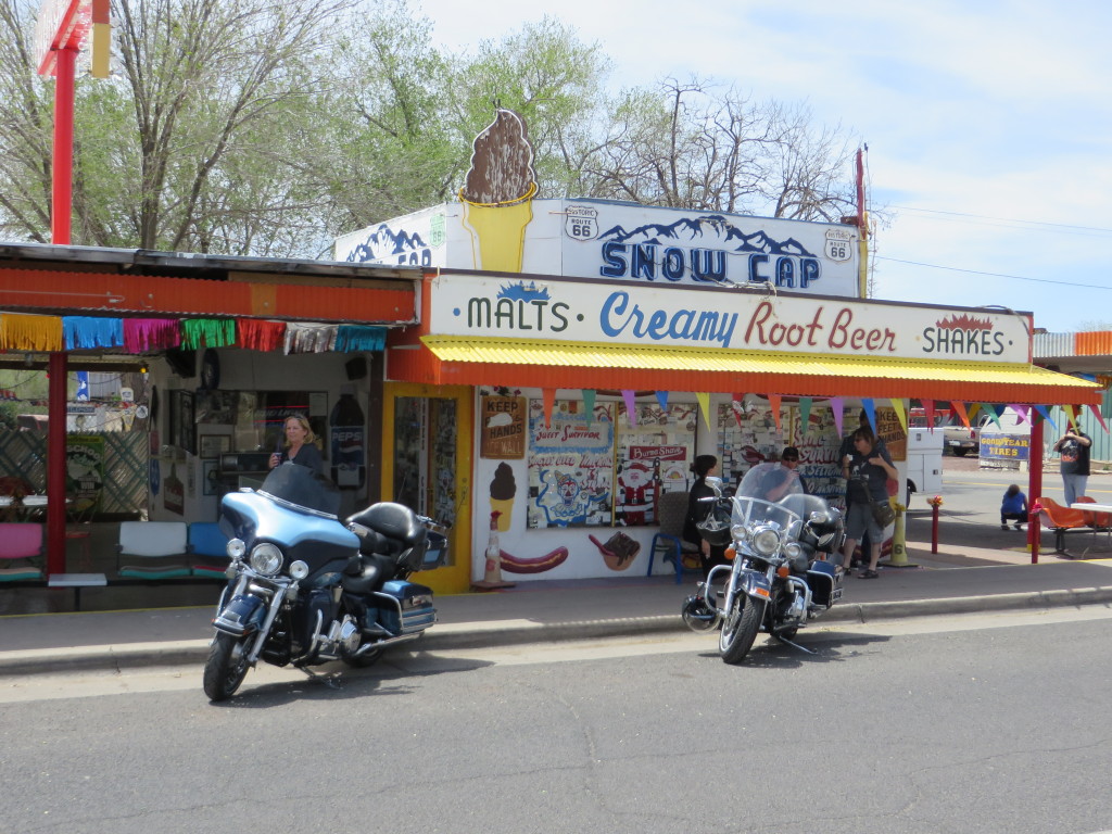
Friday morning we are on Route 66 heading towards Seligman and the SnoCap Drive-in for a burger. But before we get there we make a stop at the Grand Canyon Caverns for a tour. Descending down 210 feet in an elevator, we take a 45 minute walking tour of the caverns. An interesting note is the storage of Cold War survival rations that were placed into the cavern by the US Government during the Cuban Missile Crisis of the 1960’s and they are still there, preserved in the year round 56 degree temperature and near zero humidity.
Having ridden past the Sno-cap on previous rides I was not going to miss out on the fun. One has to stop and find out for themselves.
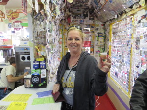
She ordered a small drink and this is what she got! You never know what shenanigan might be pulled on you at the Sno Cap.
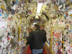
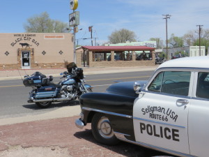
Seligman is a great little town that is all about the Route 66! Every Route 66 souvenir imaginable and then some is available for purchase.
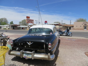
Darn the luck! Thankfully this officer retired long ago.
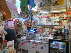
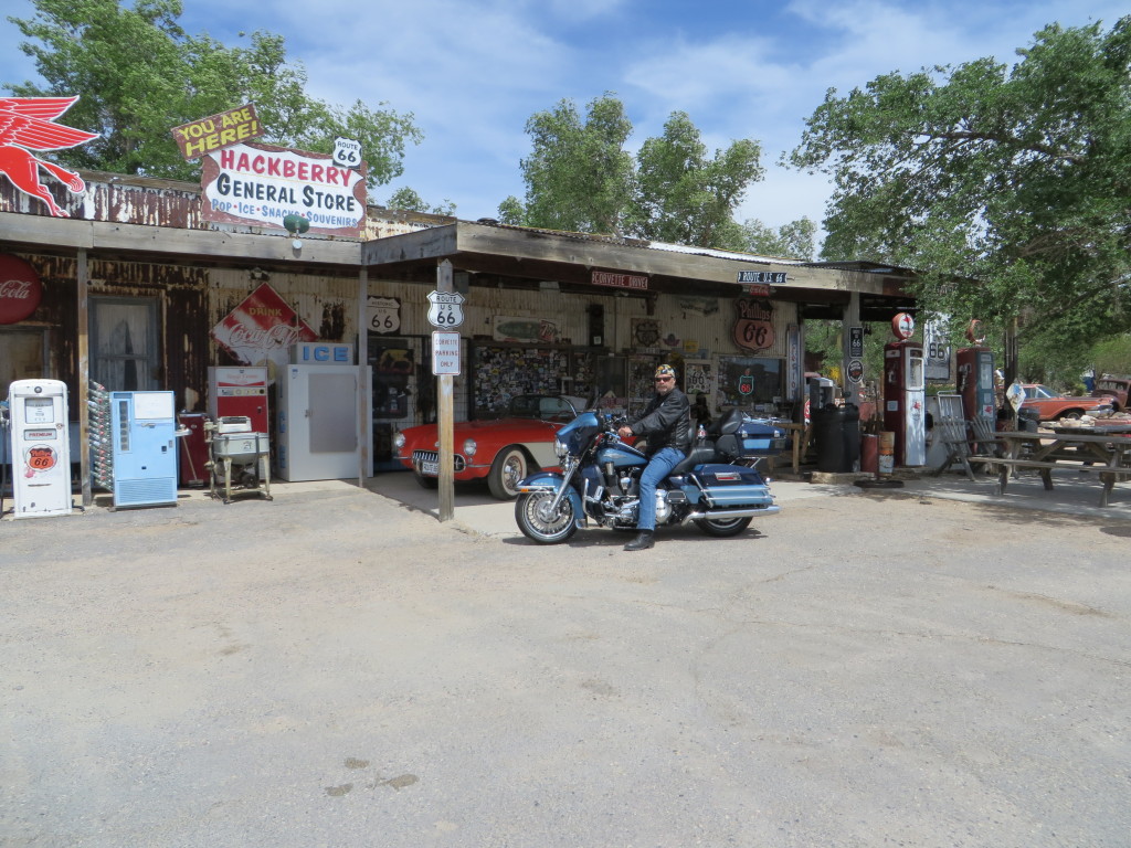
Leaving Seligman, we are heading for the Hackberry Store for a cold Coca-Cola, made the way it was back when Route 66 was in its prime. Along the way we are entertained by the Burma Shave signs of yesterday.
What no helmet? This is Arizona, where choice is still an option.
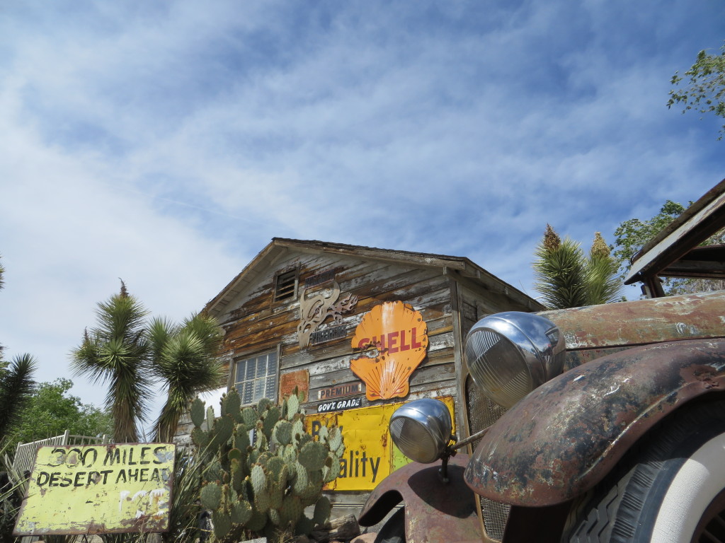
Unless credit is otherwise given, the photos in this blog are taken by or for me. I carry a small Canon PowerShot SX280HS camera on my windshield pouch for easy access. I really like how the following three pictures came out.
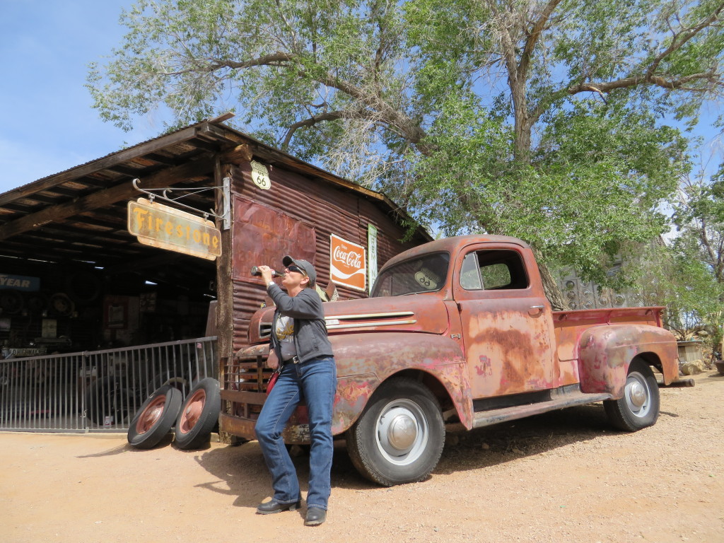
I captured one of my wife while she was clowning around, enjoying that Coca-Cola we stopped for.
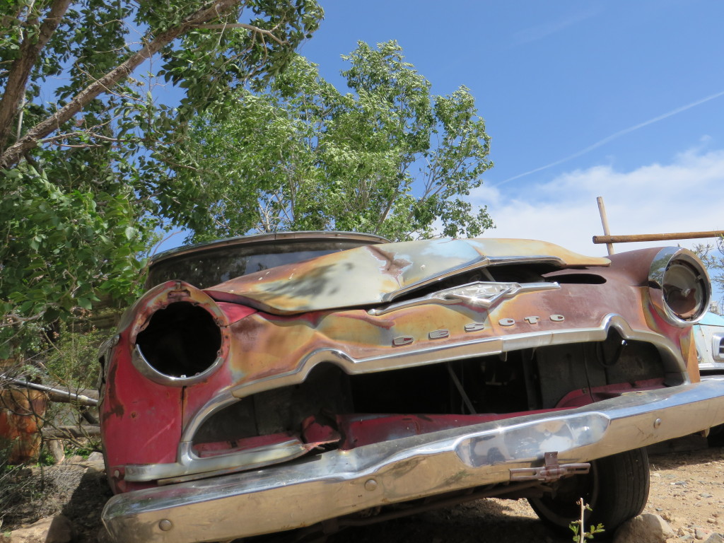
… and I couldn’t resist this shot in the Desoto Graveyard.
Our next stop on Route 66 took us to Oatman, Arizona which was filled with bikers from the Laughlin River Run. Not only was this old mining town filled with asses (some cute, some big and some annoying), it had asses wandering around the streets, not in the least disturbed by the all motorcycles coming and going.
You might notice there a lot more parked motorcycles than people in the street. That is due to a “no adult beverage ordnance” outside of the licensed establishment for this “biker weekend”, and law enforcement did not appear to be in a playful mood!
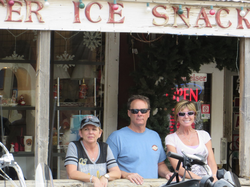
… and the three amigos surveying the action!
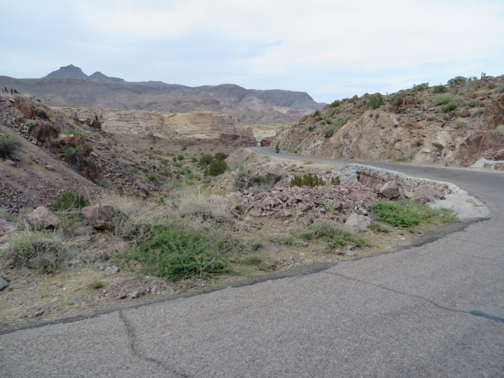
The road to Oatman, while scenic, is narrow, in disrepair and generally posted at 25-30 mph.
After leaving Oatman, where else would a Cracker Barrel fan go for dinner?
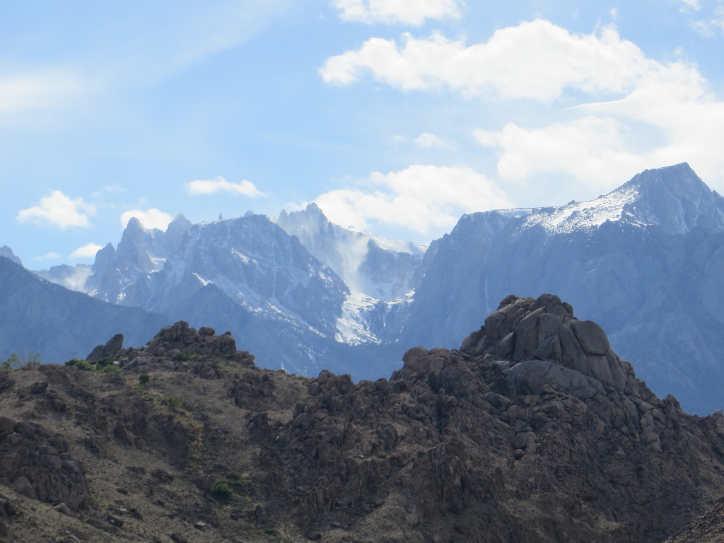
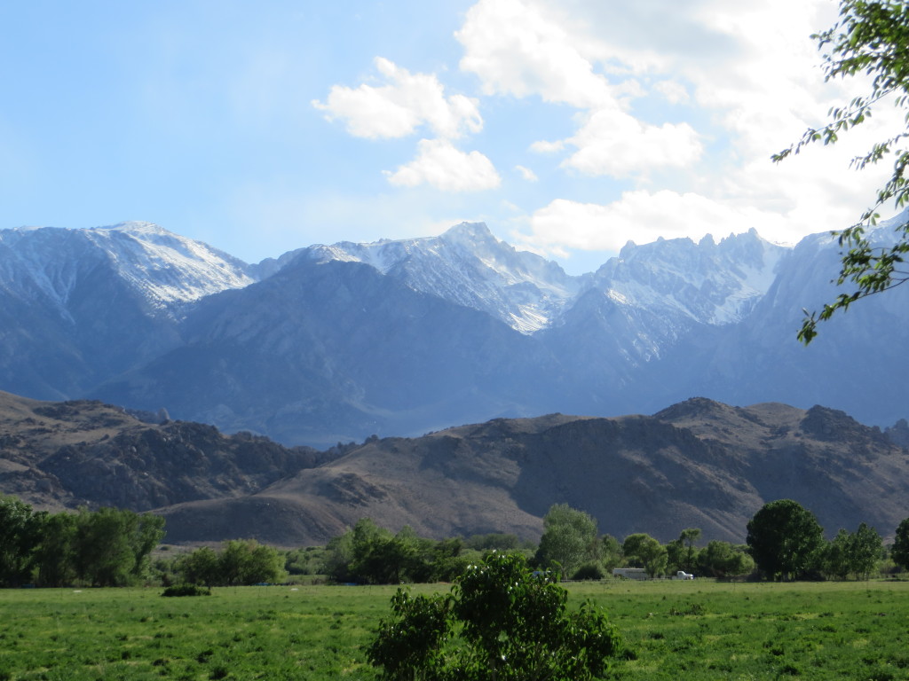
Friday night it rained in Kingman and the temperatures plummeted. The hills surrounding the area where covered with snow. Our friends left early for a one day shot back home – 600 plus miles. We opted to break up the return trip and headed for Lone Pine. The wind had kicked up and was blowing 15-20 mph with gust to 35 as we headed west on I-40. Fuel mileage dropped off dramatically with the head wind which eventually became a crosswind. At Barstow we connected on to CA58 and rolled north battling the winds the entire distance to Lone Pine on US395. Arriving at our hotel, the Best Western Plus Frontier Motel, we checked in to the older but well appointed motel. The wind had dropped off and the sun was welcoming after a long day in the saddle. With a cold beverage in hand, we headed to the pool patio just to relax in the warm sun and take in the view of the Eastern Sierra Nevada Mountains.
Walking a little over a mile into Lone Pine, we ate dinner at the Mt. Whitney Cafe. The cafe serves up mostly American food while diners are surrounded with photos of the many stars of the old black and white and early westerns that were filmed in the Lone Pine area. The walk back to the motel included a hand scooped ice cream cone – which we were sure to work off from the walk.
Early the next morning we enjoyed the included hot breakfast at the motel, leathered up and headed north towards home, stopping for lunch at the Bridgeport Inn, a quaint restaurant on Main Street in Bridgeport, CA.
We arrived home mid-afternoon, with many great memories, photos and shared time with friends.
