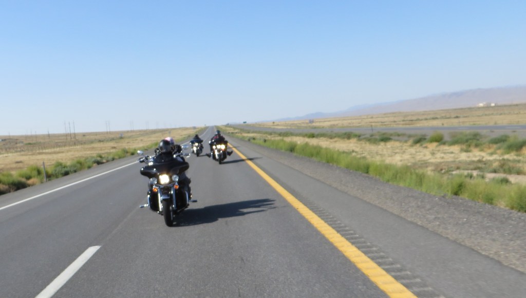
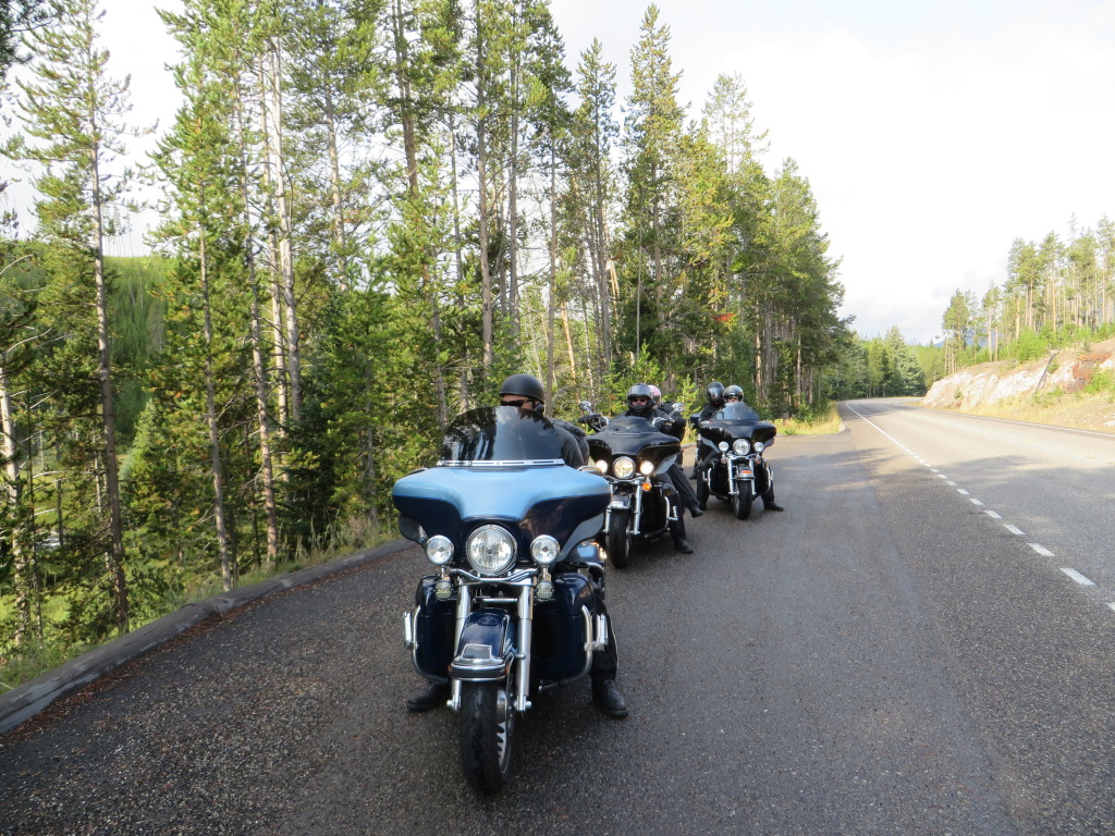
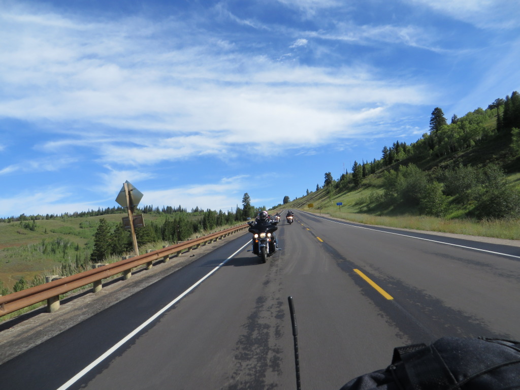
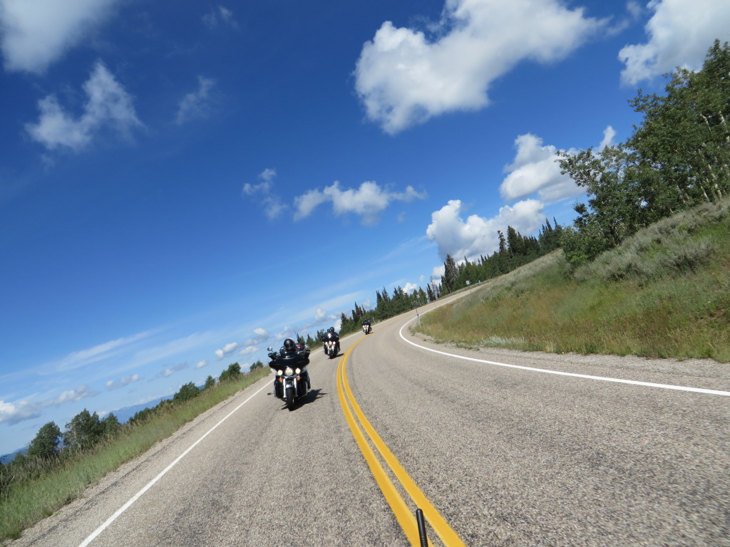
Boots are up at 7 a.m. as we get an early morning start on the first leg of 425 miles. Heading east on I-80 in the brisk morning air, our destination is Boise, Idaho. Traffic is light, calm winds and the pavement rolls on beneath the five Harley Davidsons and the riders.
We are all looking forward to the next eight days with a swing up through Idaho, Montana, Wyoming and Utah. Our route will take us to Winnemucca, Nevada, north on U.S. 95 through the corner of Oregon into Idaho.
Even with the long straight stretches, the 65 m.p.h. speed limit in Nevada is enjoyed as we know once we cross into Oregon it will be a very slow 55!
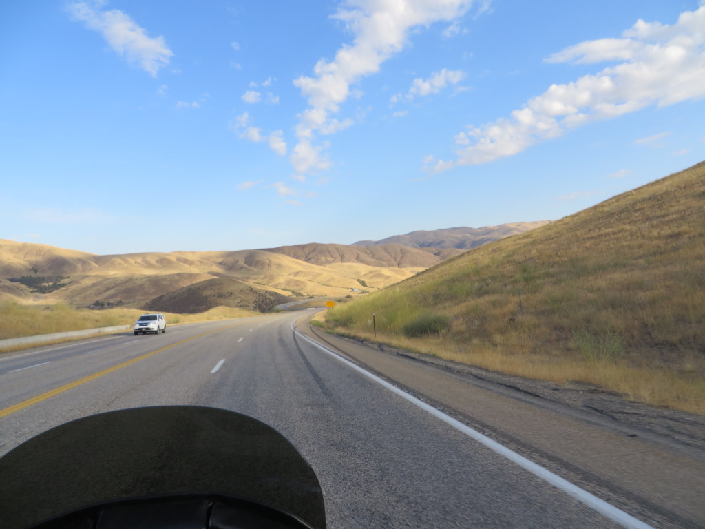
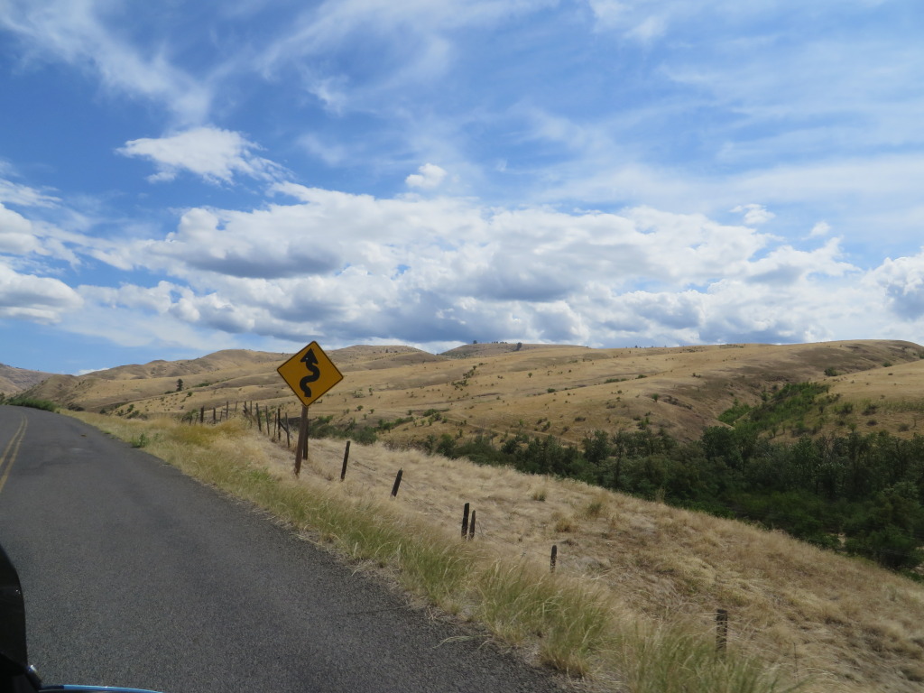
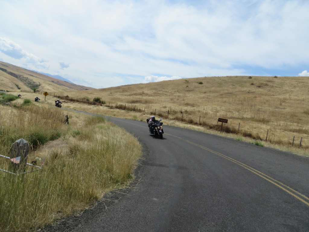
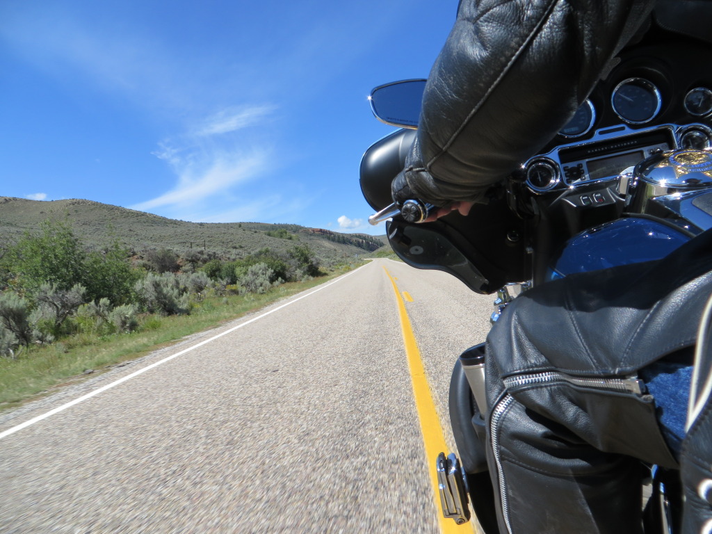
We made good time pulling into Jordon Valley, Oregon, slightly ahead of schedule. We happily crossed into Idaho, rolling on the throttle, enjoying a nice run consisting of some curves, hills and some good canyon scenery.
Arriving at our hotel, the Inn American is located near the Boise Airport. We enjoy a cold beverage in the parking lot before heading to the registration desk. I have previously stayed here and again found the accommodation adequate, clean and with a morning breakfast. The only negative to the Inn is the parking for motorcycles. I like to keep an eye on my bike, but you would be lucky to find a parking spot that would afford you a view, let alone quick access to it.
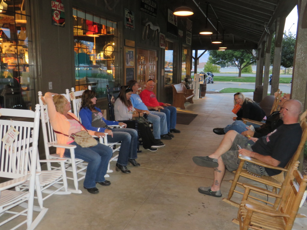
A late dinner found us at the Cracker Barrel. I had hyped up the Campfire Cookin’ meal and we were looking forward to chowing down, but with only two meals left some of us had to alter our dinner selections. Afterwards we found ourselves relaxing in the rocking chairs out front.
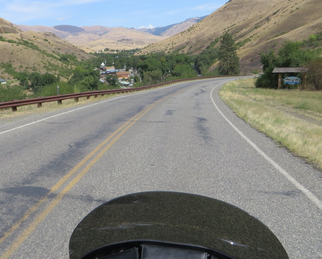
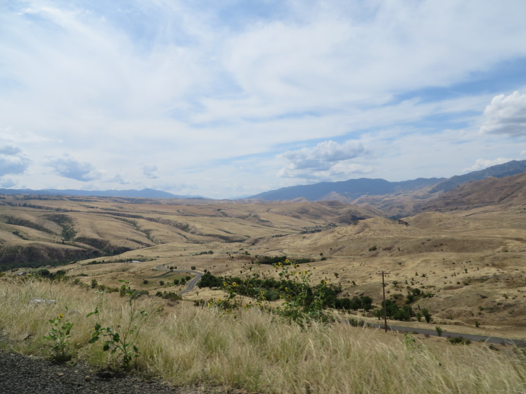
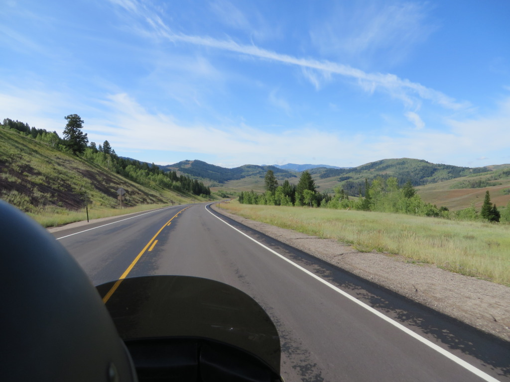
Day 2 – 376 miles. We are rolling at 8 a.m., heading north on Idaho 55 towards McCall. The run between Boise and McCall is scenic with sweeping curves, hills and grades, passing through some small communities. Near McCall a very large, multi-point buck crossed the highway in front of us. North of Riggins, we departed U.S. 95 for Old 95, also known as Whitebird Hill Road. Although the road is not in the best of shape, it was an enjoyable diversion from the heavier travelled U.S.95. Whitebird Hill Road is a Butler Map’s G1 identified motorcycle highway and rightfully so. Caution must be used on the curves due to gravel spilling out on to the main travelled portion.
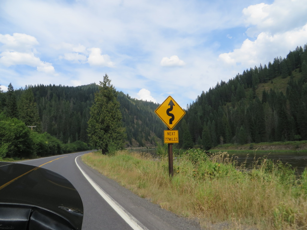
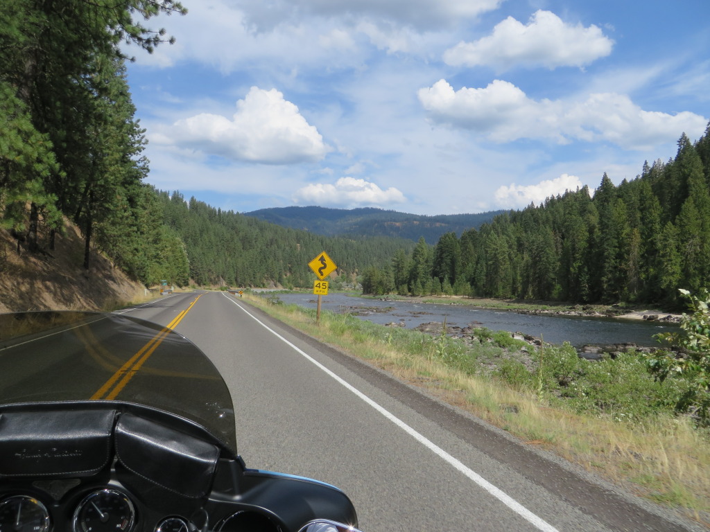
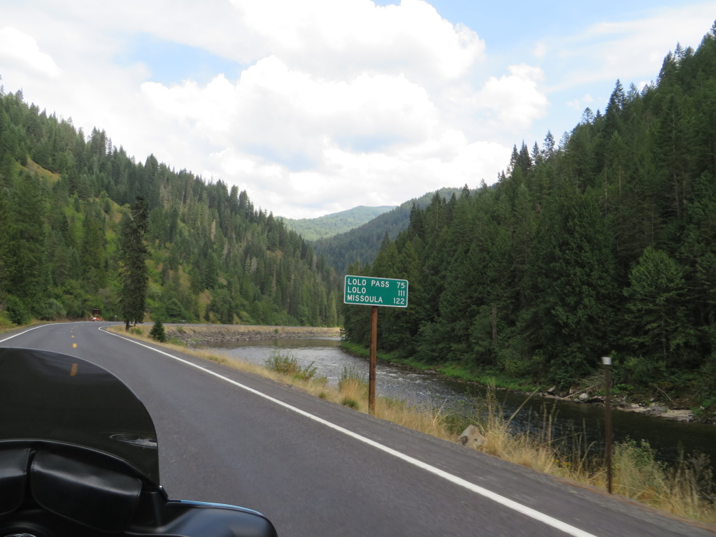
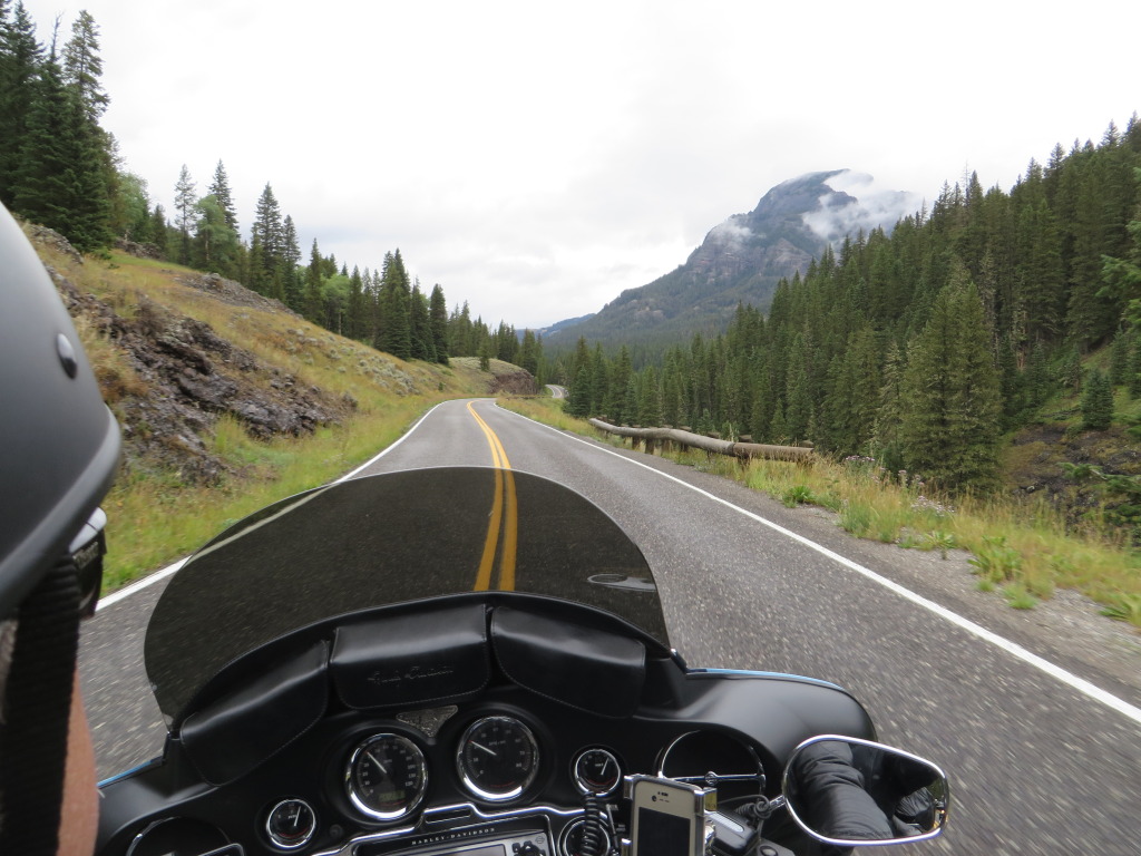
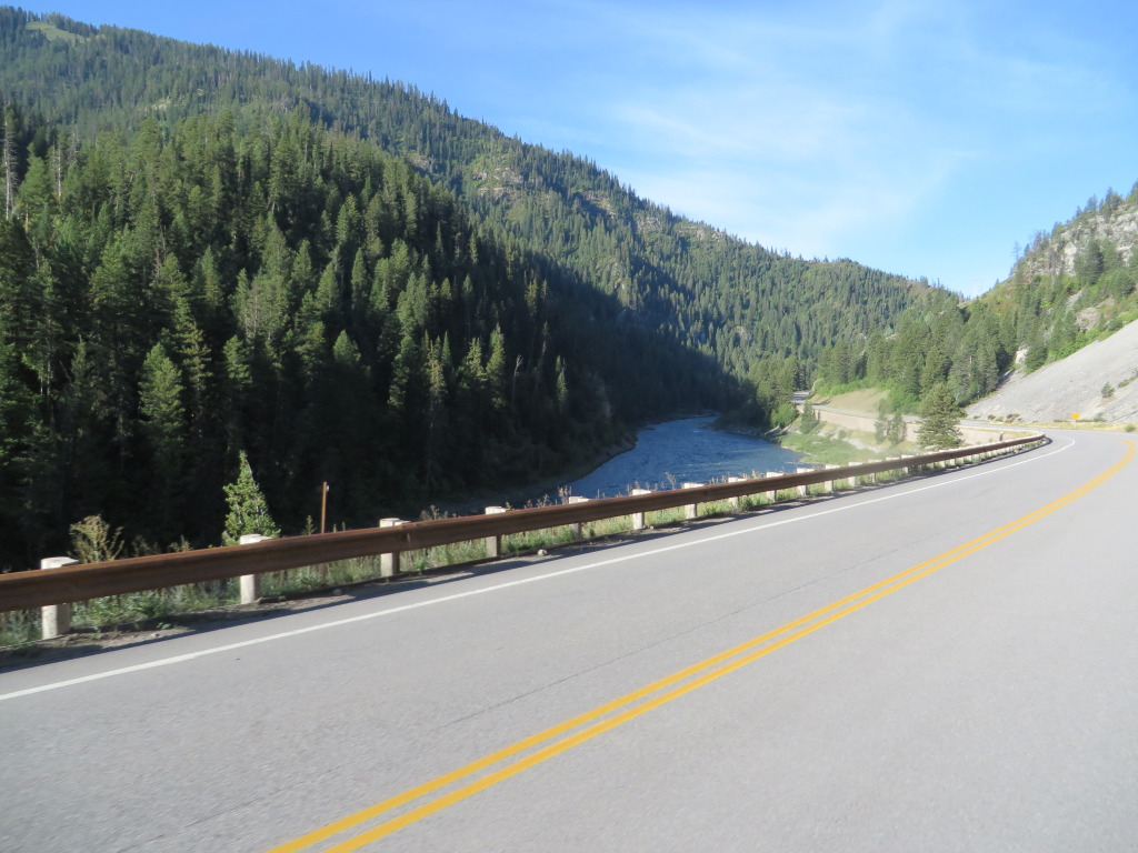
Turning on to Idaho 13, the highway narrows and the opportunities to pass slower traffic is limited. Arriving Kooskia, we have lunch at the Kooskia Cafe. The lunch service was very good. After fueling, we head east on U.S. 12 (Lewis & Clark Trail) along the Clearwater and Lochsa Rivers. This is one of Idaho’s premier motorcycle roads, both for scenery and curves. I missed getting a photo of the “99 miles of curves” sign, but when the “77 miles” approached the camera captured it.
Missoula is our overnight destination and we press on with beautiful scenery and light traffic. Wildfires continue to burn across the river but have no effect on traffic. As we start to climb towards Lolo Pass we encounter slow traffic. It seems that despite many opportunities and traffic signs advising slower drivers to use the turnouts, one big rig driver was hell bent on staying in the pole position frustrating many a driver, including me. At Lolo Pass we stop at the rest area for a much needed break and the chance to stretch our legs. The sky darkens and a light rain begins to fall, so with haste, but safely so, we push on to the Missoula Super 8 Reserve, arriving as the rain increases in intensity.
Dinner found us walking across the street to the Montana Club. This was not our first choice but no one wanted to mount up and ride in the rain to another location – like the Cracker Barrel a mile away!
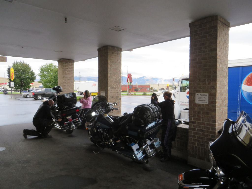
Day 3 – 301 miles. The rain continues most of the night but turns to a drizzle before we roll out. After downing some of the motel offered breakfast, the bikes are moved under the car port and with the motel supplied towels (front desk) the bikes are wiped down and packed for the day’s run ahead.
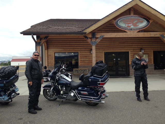
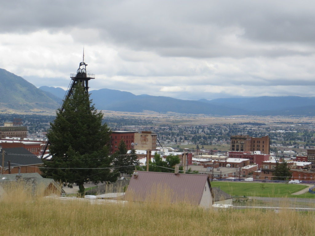
With the threat of rain, most of the riders are suited up accordingly. I for one, did not. Rolling east on I-90, lightening and thunder is out in front of us. Before long the rain starts to fall and in no small amount. Finding a freeway underpass, the raingear is quickly put on and we roll on towards Butte, stopping at Copper Canyon Harley Davidson were we were welcomed by the staff, offered hot coffee and a chance to warm up while spending some of those hard earned dollars.
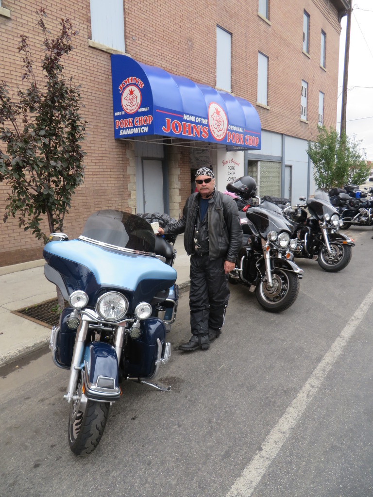
Lunch is at John’s Pork Chop in Butte. Should you want to go, be sure to visit the original one in old town and chow down on the famous Pork Chop Sandwich!
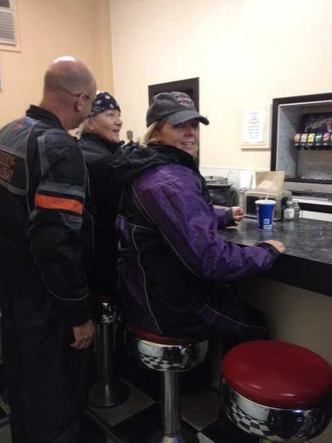
There is a walk up window outside and if you go in you will find a few counter stools in a very narrow room. Get there early or be prepared to wait. The menu is small, prices fair, service friendly and the food good.
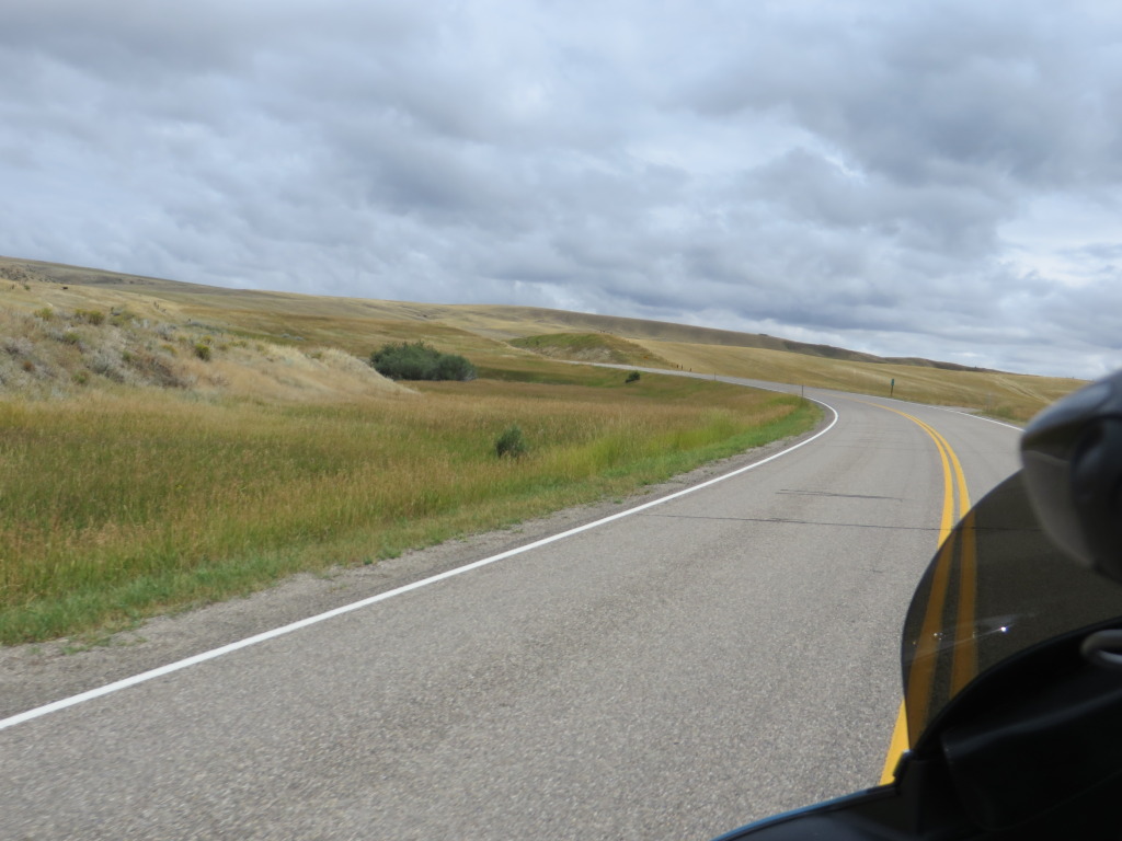
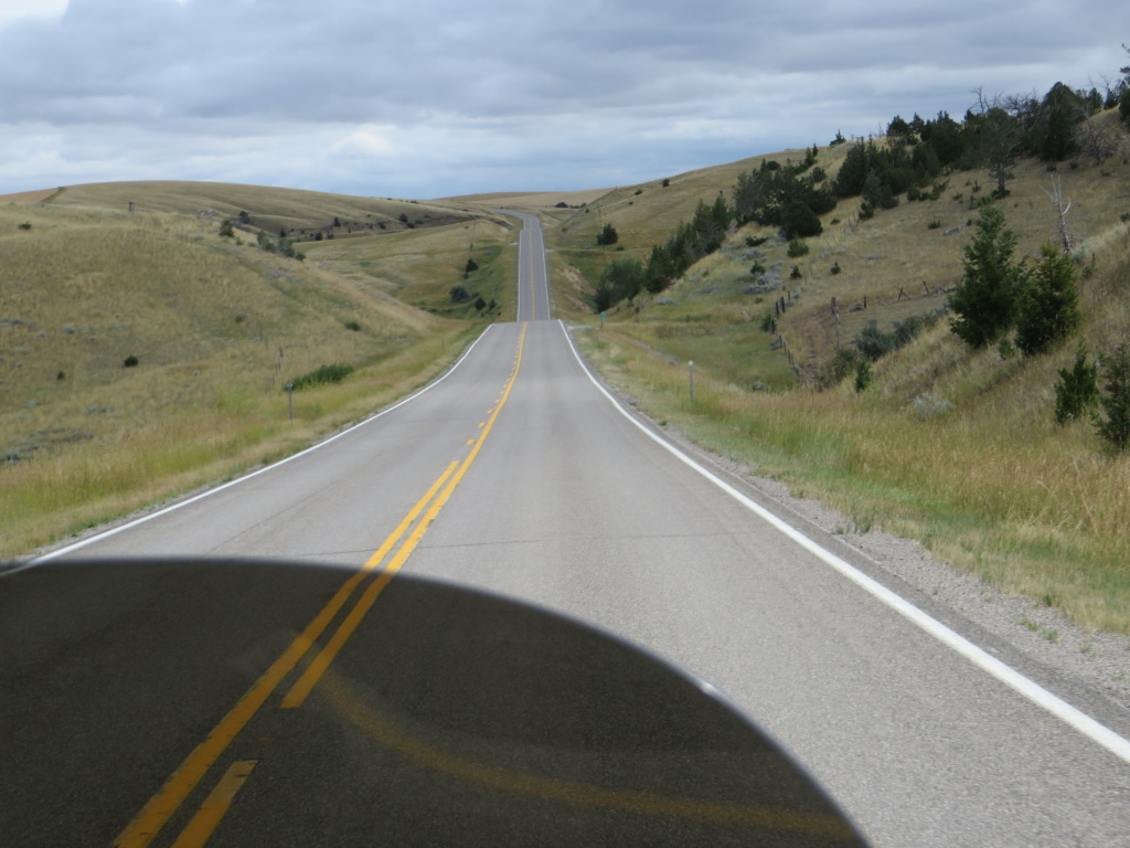
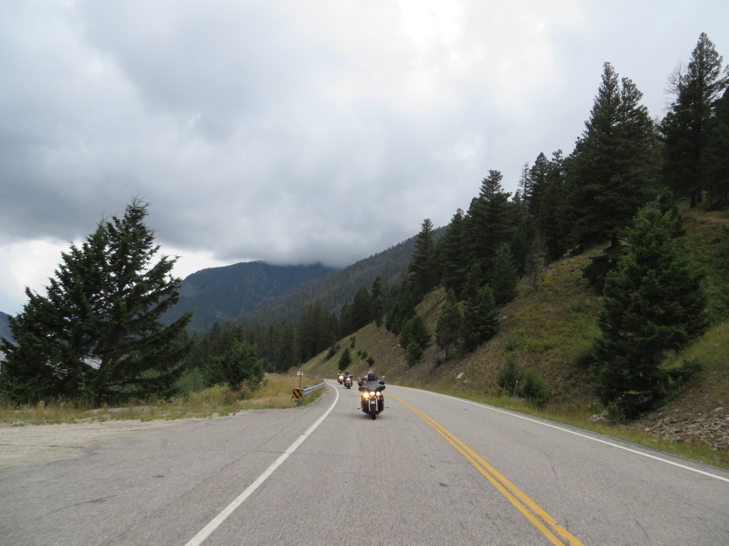
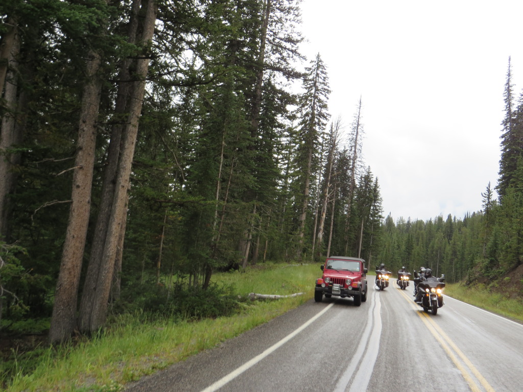
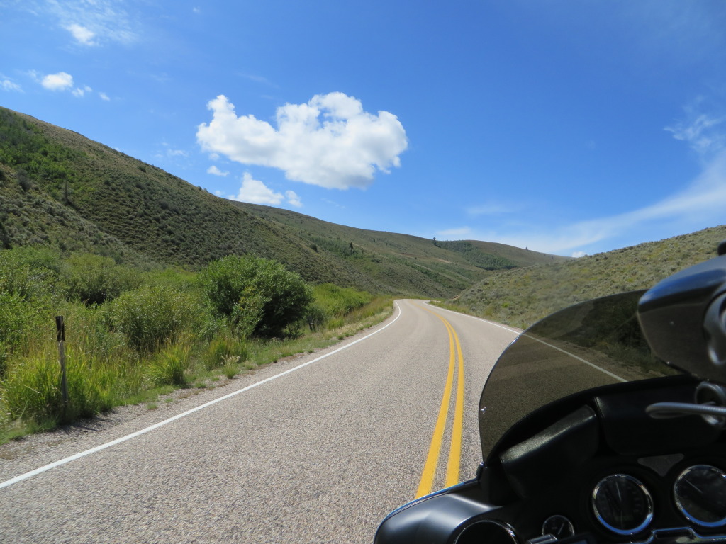
After lunch and fuel, we are back east on I-90 before leaving the Interstate for Highway 359 which is a total delight to ride on our way to West Yellowstone.
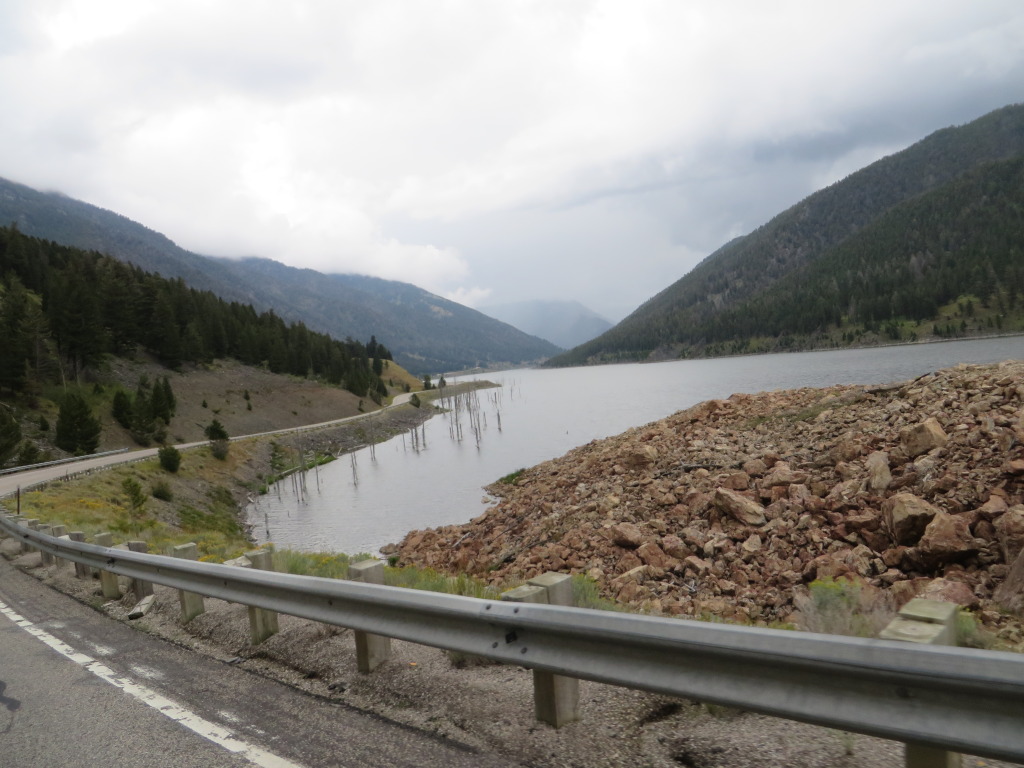
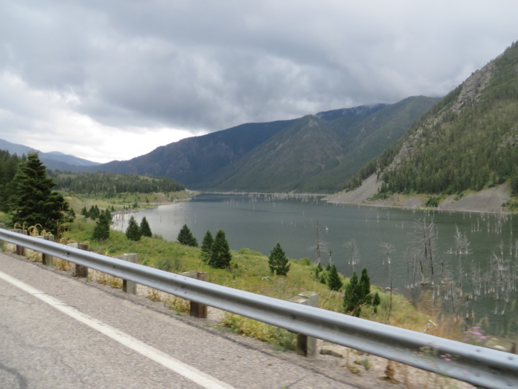
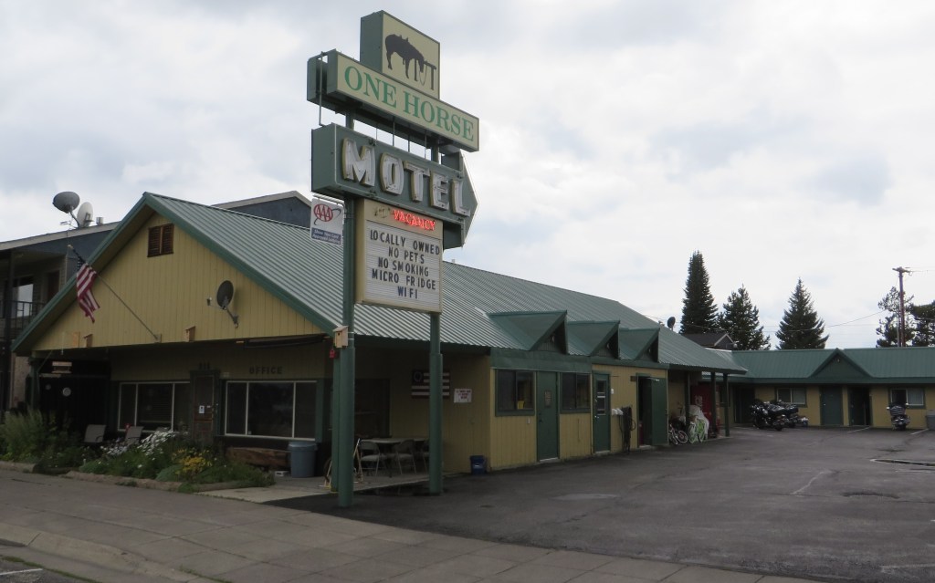
Leaving Ennis on U.S. 287, we parallel portions of the Madison River as we head towards our overnight accommodations at the One Horse Motel. We once again encounter rain and a quick stop is made to gear up. Leaving the grasslands behind we start to climb when we encounter Quake Lake which was created in 1959 as the result of a major earthquake that caused the canyon walls to collapse, blocking the Madison River . Fifty years later you can still view the aftermath.
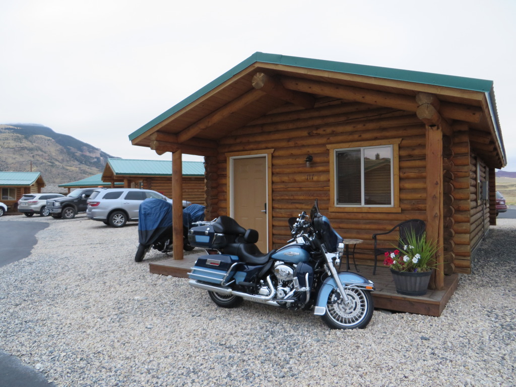
Rolling into West Yellowstone, the weather is breaking and the sun is creeping through. We find the One Horse Motel very accommodating for motorcycles, including a bike washing station with buckets and dry towels. It is located within walking distance of the downtown area.
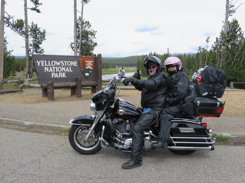
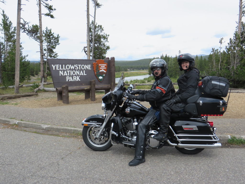
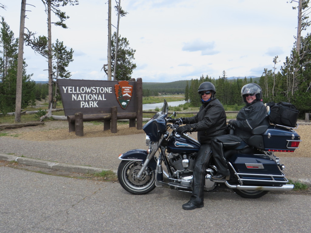
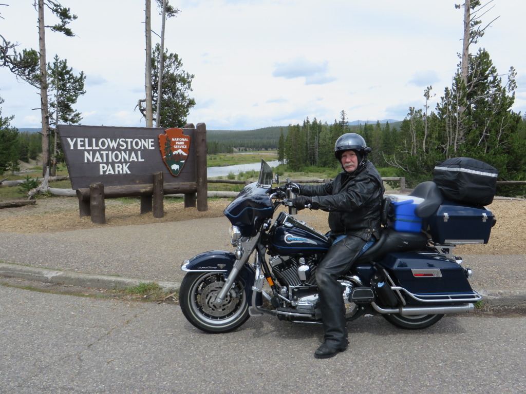
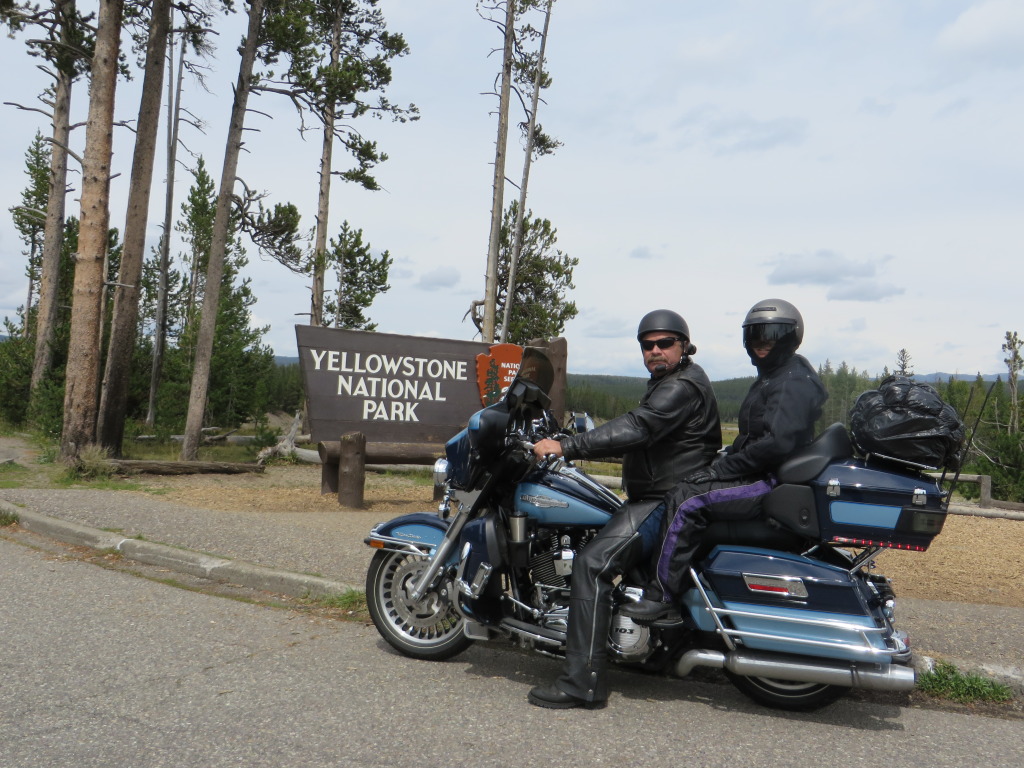
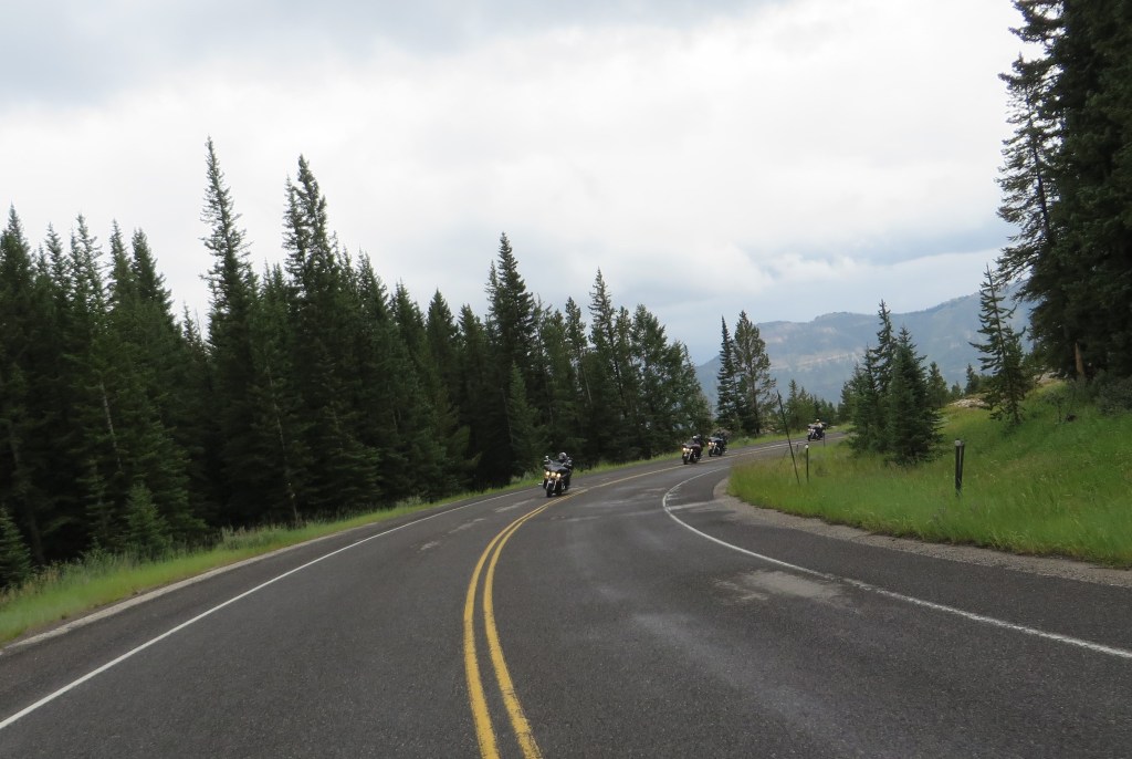
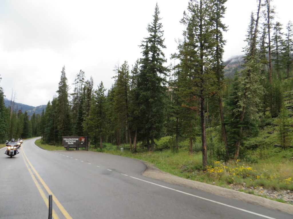
Day 4 – 260 Miles. With boots up the next morning, we quickly enter Yellowstone National Park paying our $20 fee.
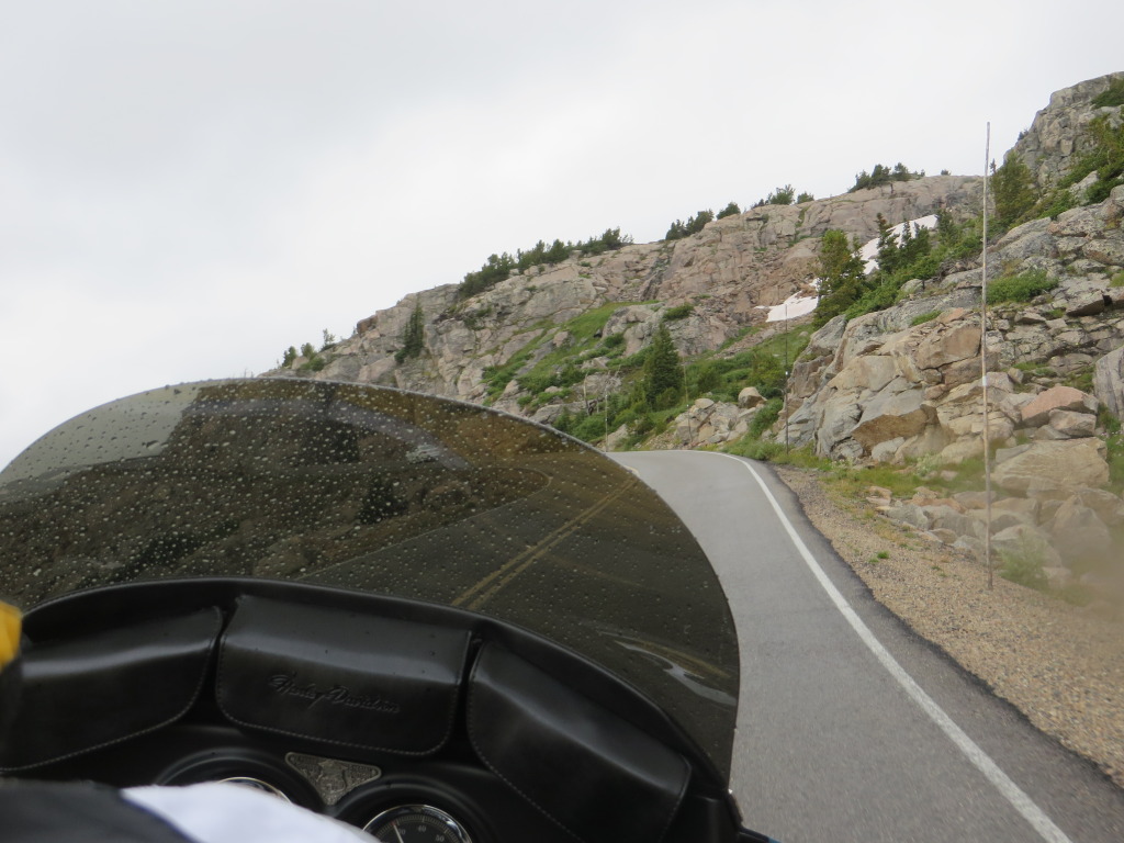
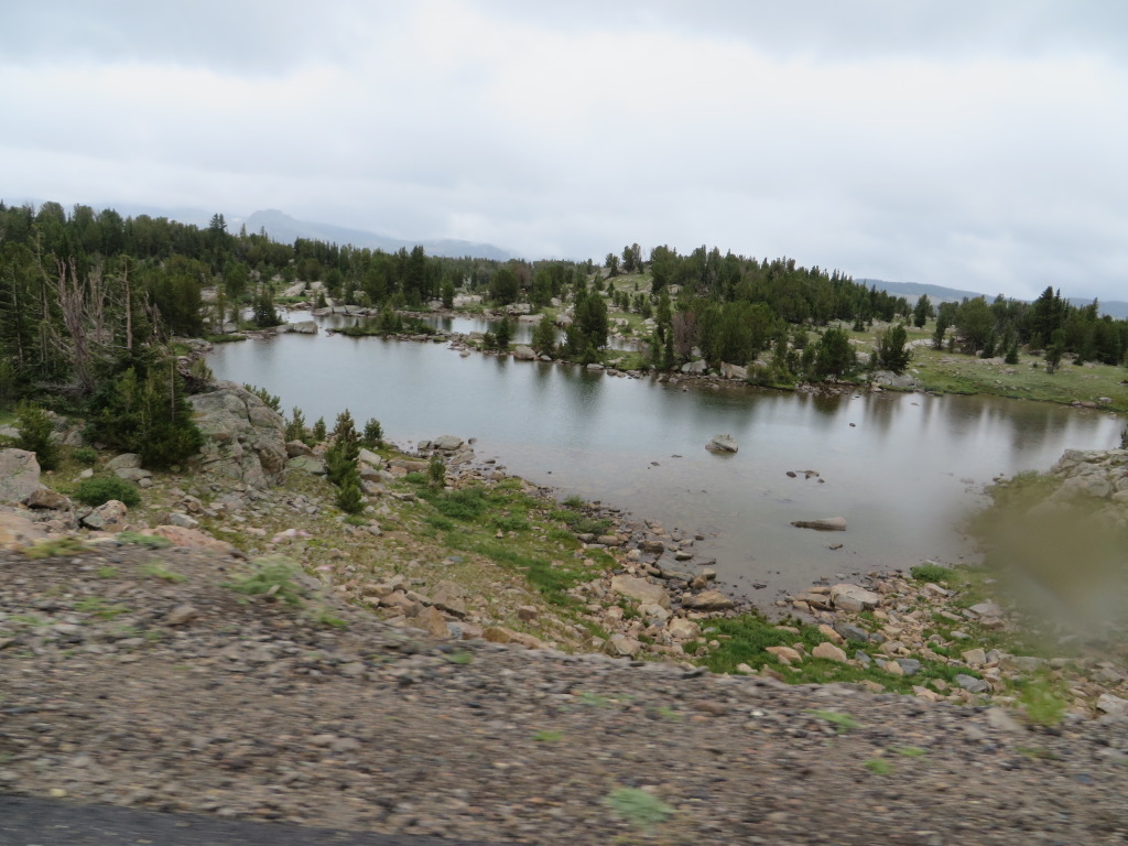
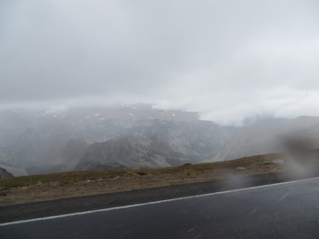
Leaving out the East Entrance, we arrive Cooke City for lunch and fuel. The weather is starting to turn and light rain begins to fall. Rain or not, you can’t get this close and not ride the Beartooth, so up we go!
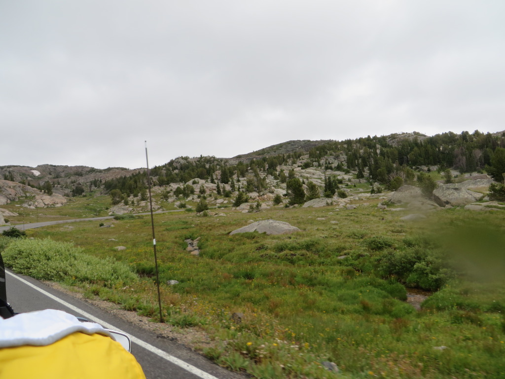
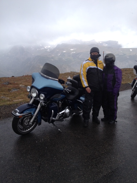
Cresting the summit at 10,947 feet,
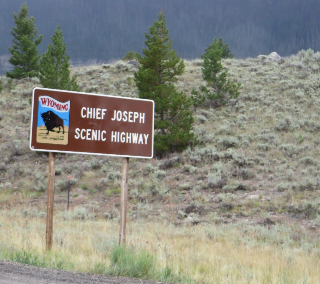
Knowing all to well how the weather can change on the Beartooth, we stop for a quick photo opportunity before heading back down the south side towards the Chief Joseph Scenic Highway heading towards Cody, Wyoming our overnight destination.
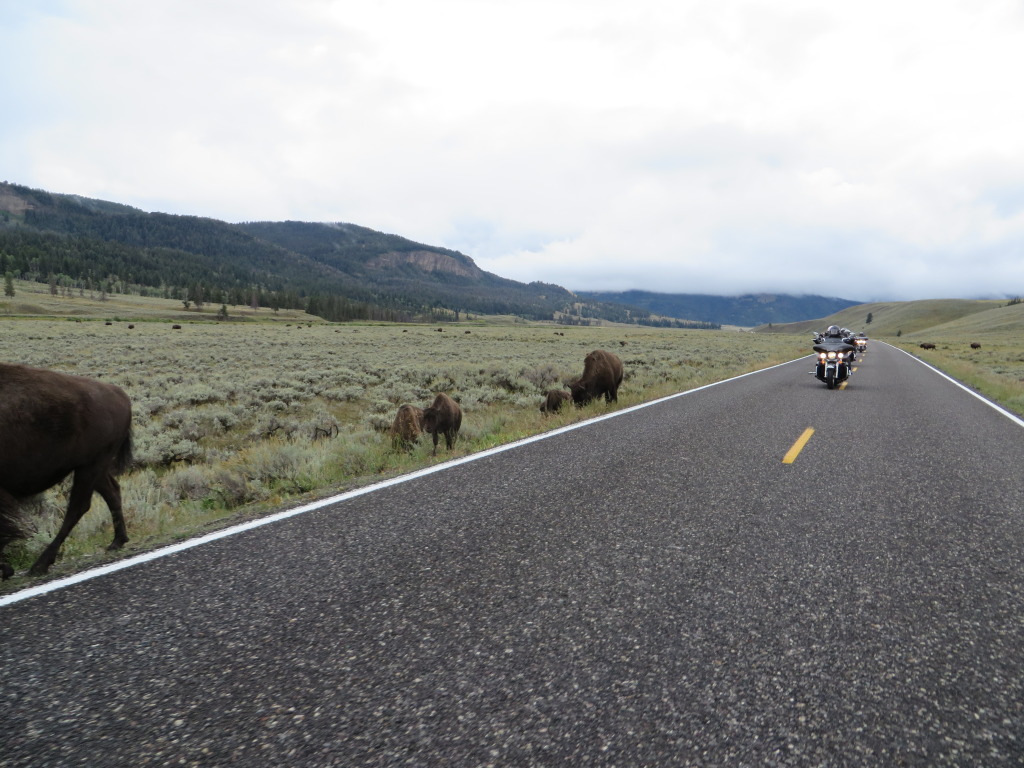
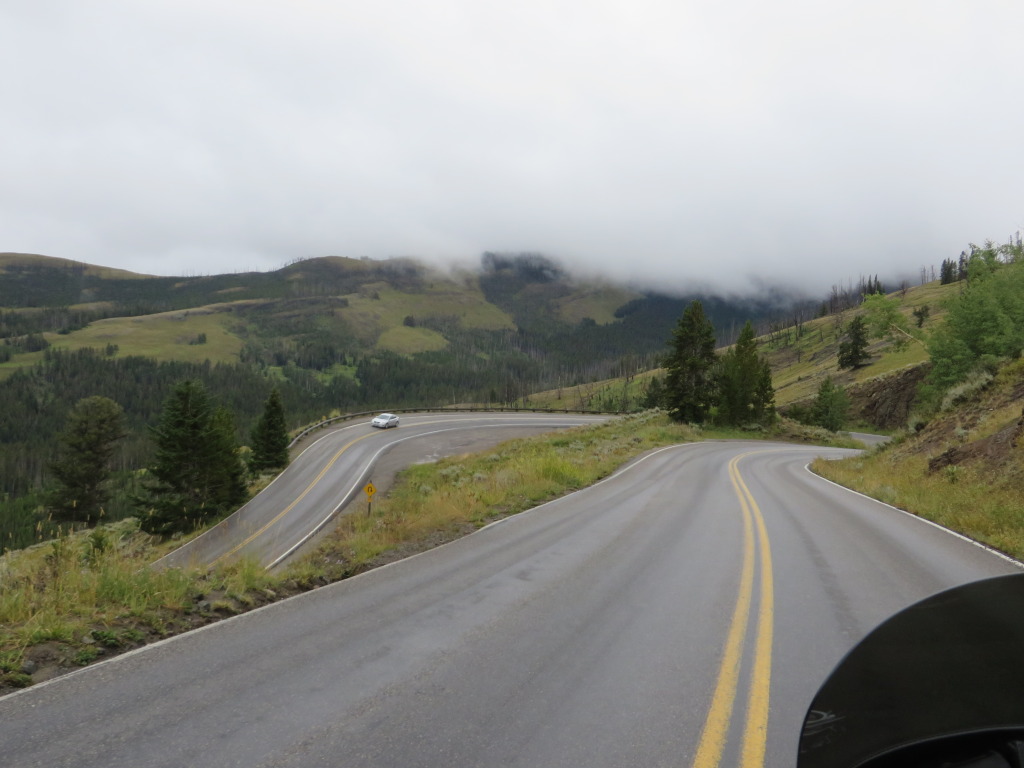
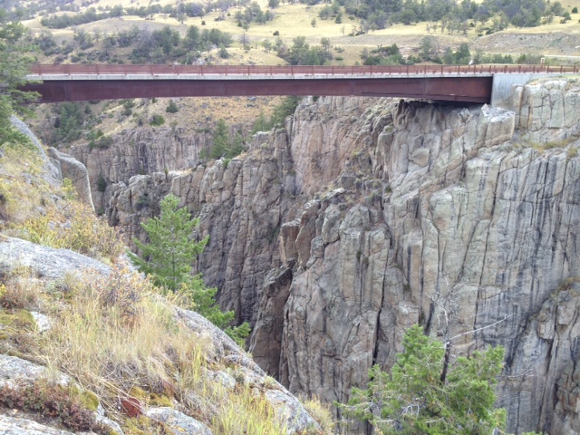
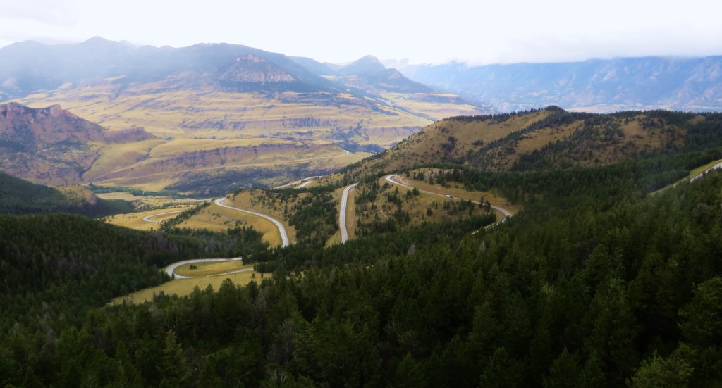
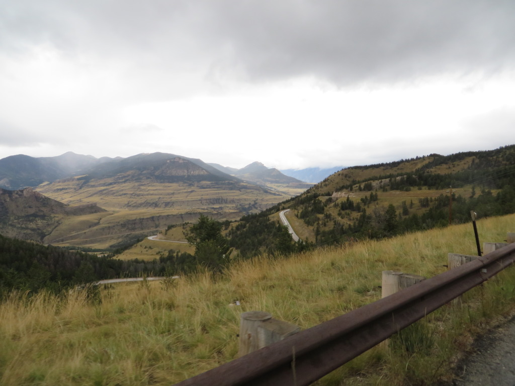
Turning on to the Chief Joseph Highway, the rain is intermittent as we ride towards Dead Indian Pass at 8,048 feet. This section of road is one of the premier motorcycle roads in Wyoming.
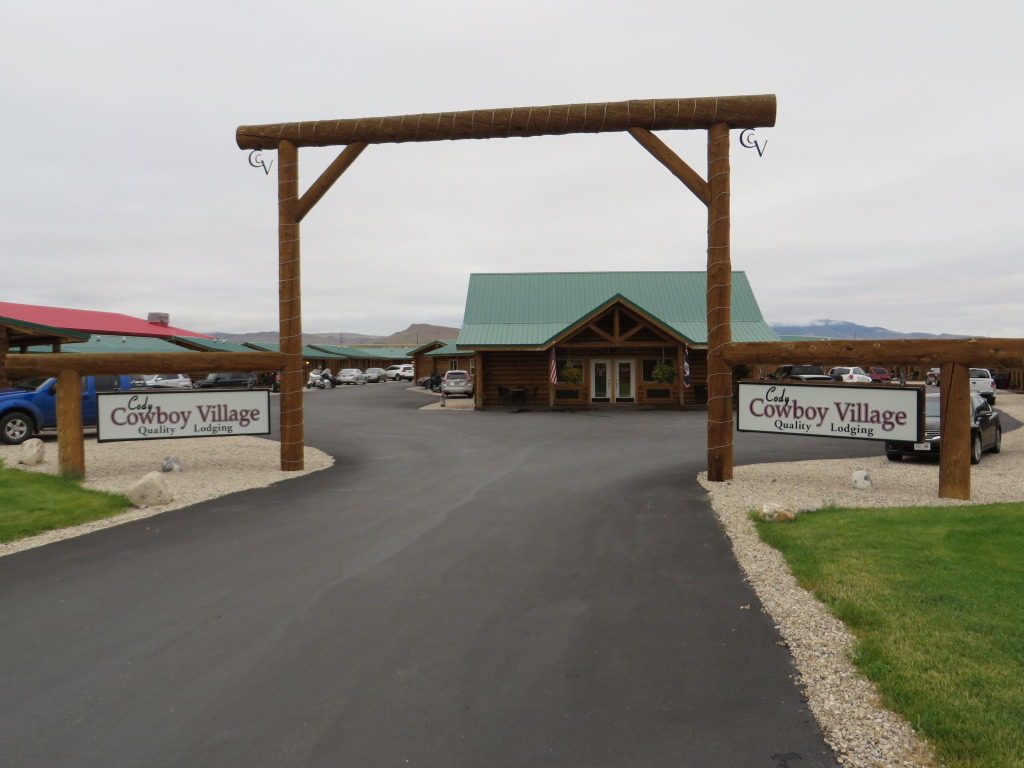
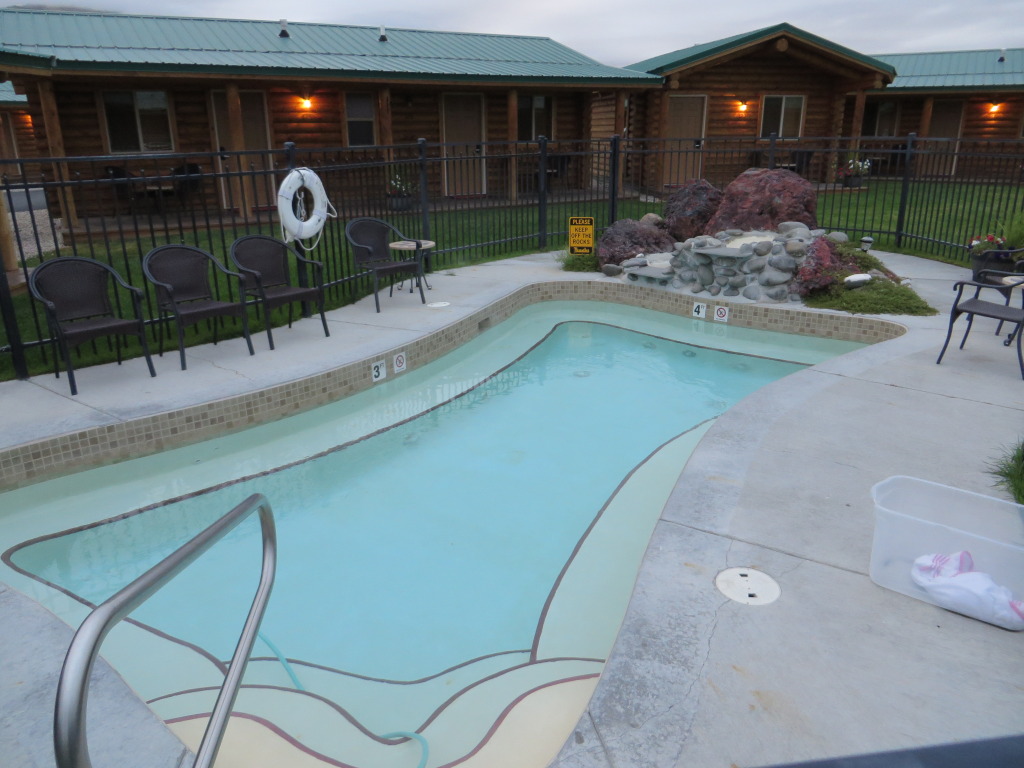
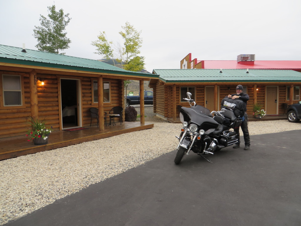
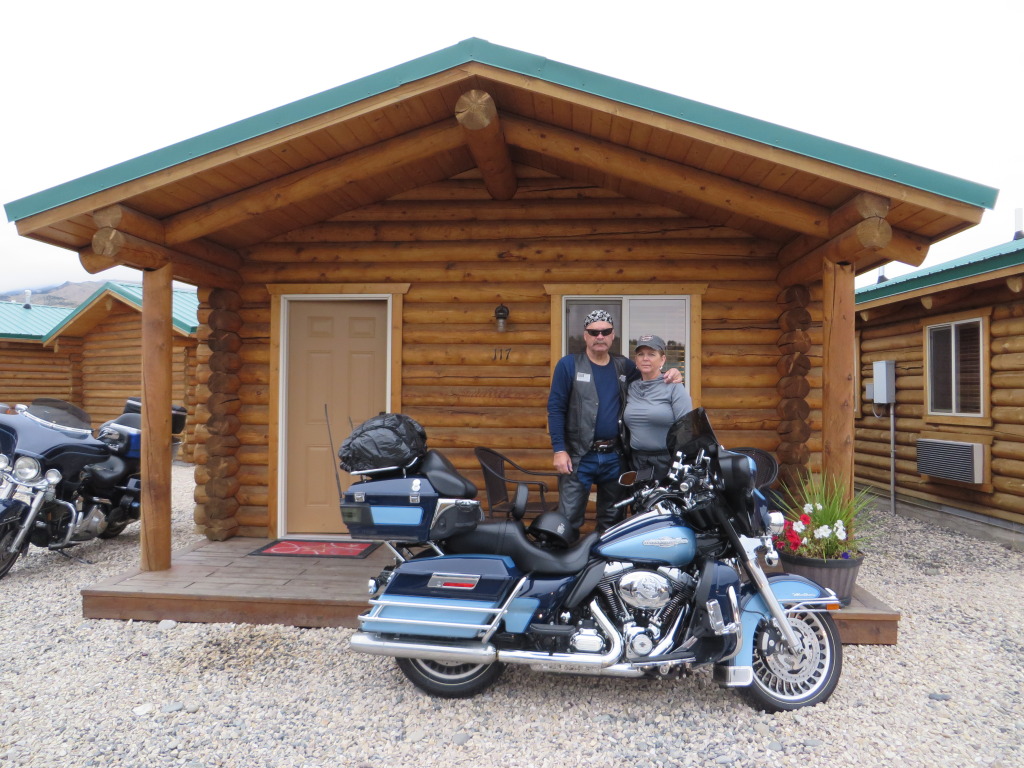
Over the summit, the rain increases in intensity and we push on towards Cody. Arriving at the Cody Cowboy Village we check into our accommodations for two nights.
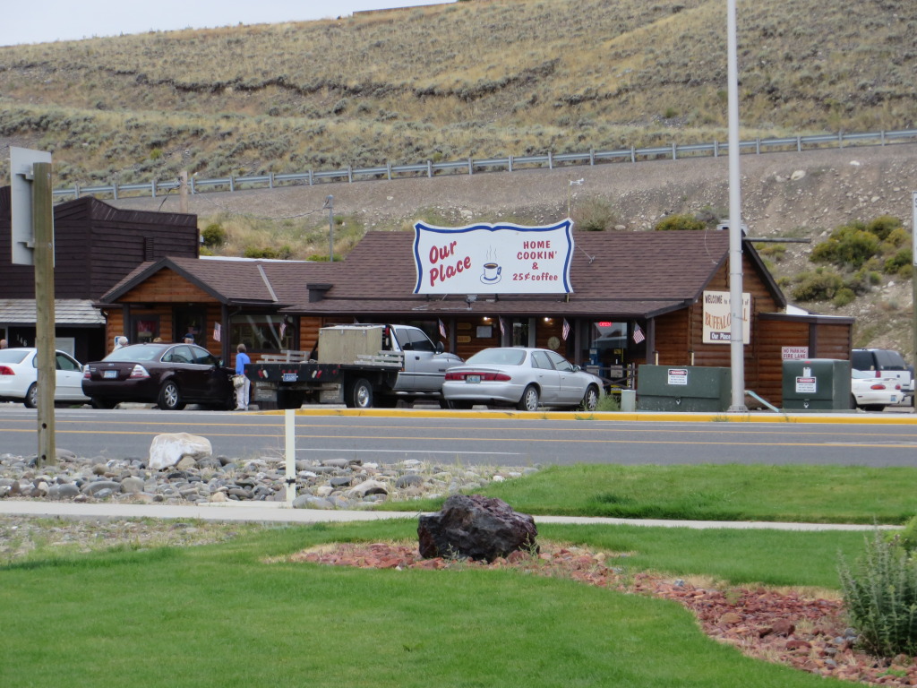
Day 5 is a no travel day in Cody. The rain has stopped and we walked across the highway to “Our Place” where coffee is only 25 cents. This is a favorite café for locals and the wait was worth it.
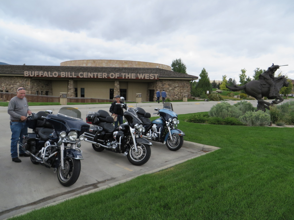
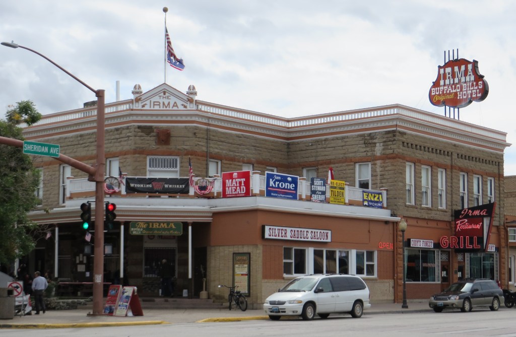
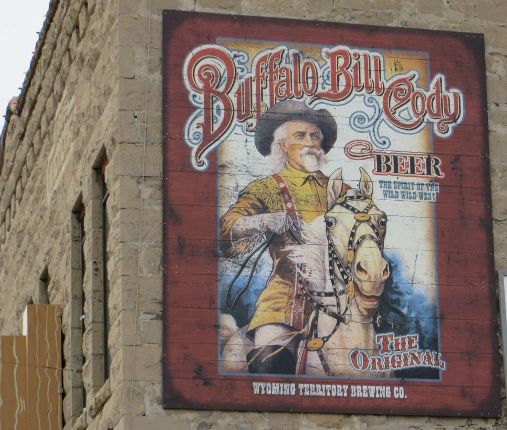
After breakfast and we made a visit the Buffalo Bill Museum, the Irma Hotel, and Buffalo Bill Harley Davidson.
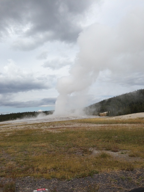
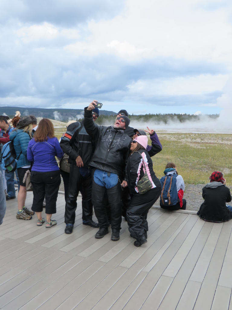
Day 6 – 216 miles. We load the bikes and pack accordingly to the weather which was once again threatening rain. Heading west on U.S. 14/16/20, we are going back into YNP for a visit to Old Faithful Geyser.
Leaving YNP we enter Grand Teton NP on our way to Jackson, Wyoming with a light rain falling. What happened to the photos I have no idea. So there aren’t any.
Arriving Jackson, we pull up in front of the Rawhide Motel which located downtown, across the street from Jackson Hole Harley Davidson and an easy walk to the Million Dollar Cowboy Bar, an iconic bar and steak house that is a stopping point for motorcyclist heading to and from Sturgis. The Rawhide Motel does provide towels for motorcycles – just ask at the front desk.
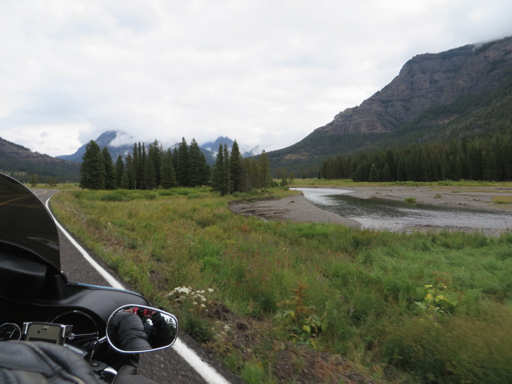
Day 7 – 386 miles. It is a cool but scenic ride leaving Jackson on U.S.191 which parraels a portion of the Snake River. We are heading for West Wendover, Nevada, our overnight stop. South of Jackson, we stay right on to U.S.89 following it through Alpine and Afton.
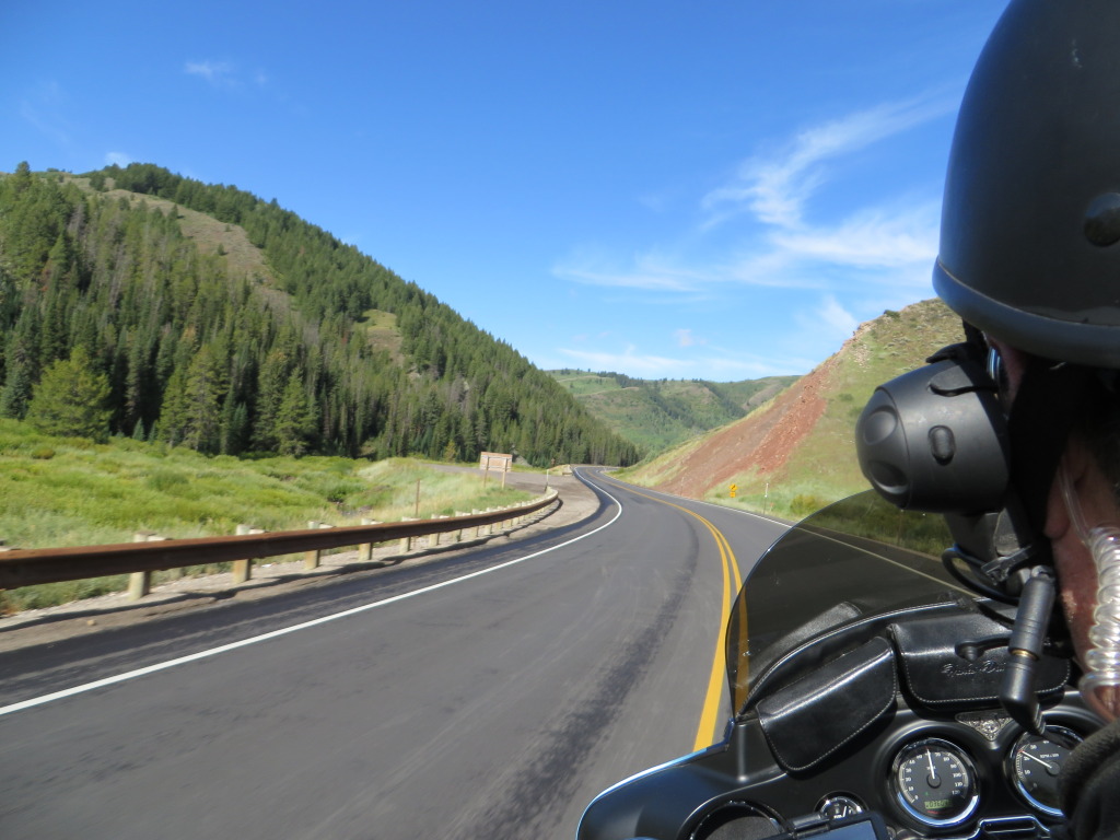
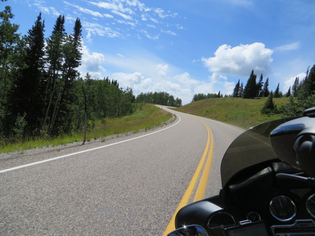
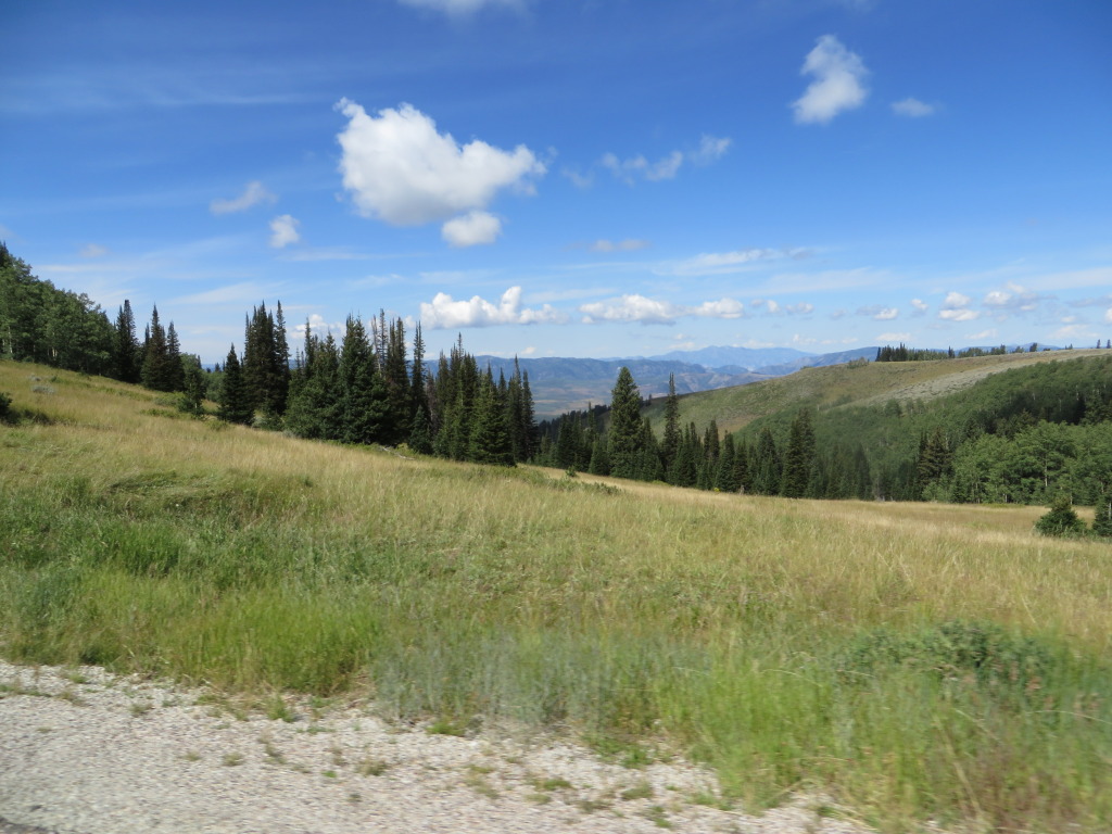
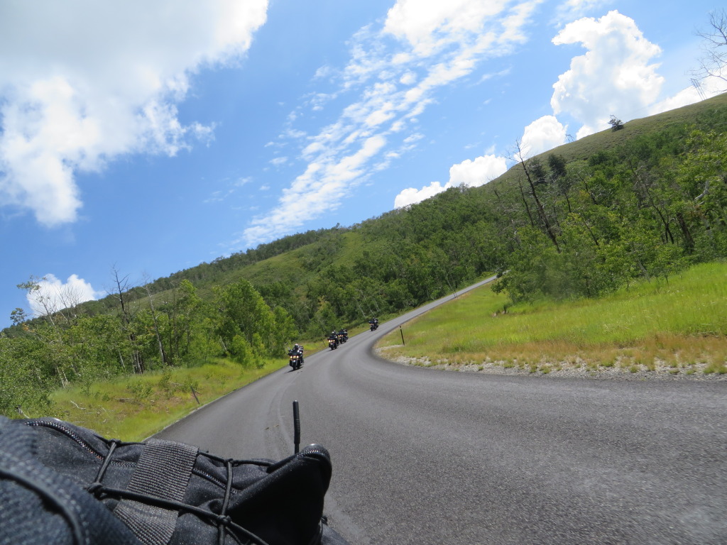
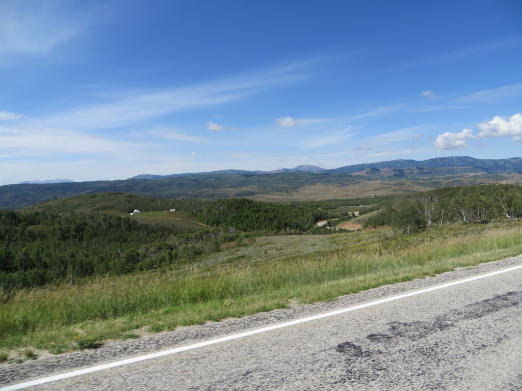
We cross back and forth into Idaho and Wyoming, before making a left on to WY89, merging on to U.S.30 to Cokeville. Thirty miles later we are back in Utah on UT30, south on UT16, stopping in Randolph for fuel. At Woodruff, a right turn on UT39 takes us to one of the most beautiful, made for motorcycle roads in Utah (Butler Maps G1). Climbing to nearly 9,000 feet through groves of Aspens, the 360 degree views are incredible.
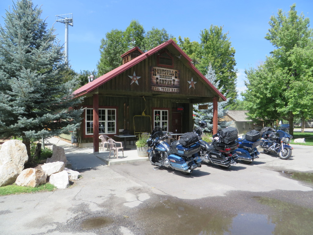
Arriving in Huntsville, we stop for lunch at the Huntsville BBQ Company, one of the two restaurants in this sleepy community. Lunch was very good, but if your looking for a cold beer it won’t be here unless it is in your ice chest!
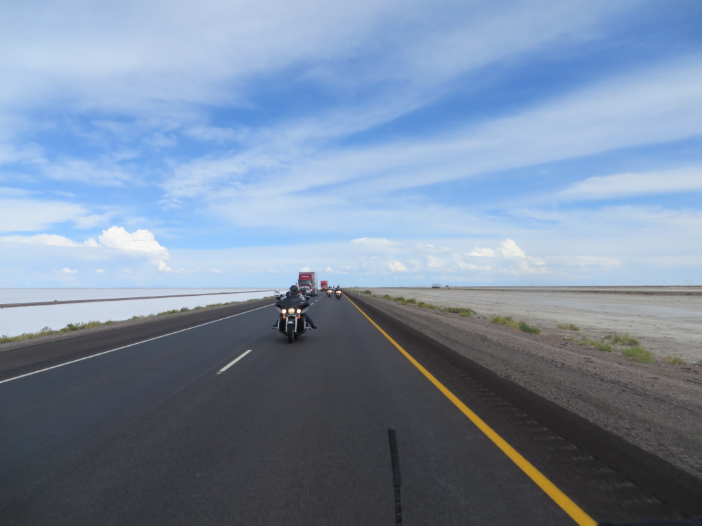
Heading south on Interstate 15, we merge on to Interstate 80, stopping for fuel at Exit 92 before we make the long, straight crossing to West Wendover and the Peppermill. There are a few rain drops, but for the most part we stay dry.
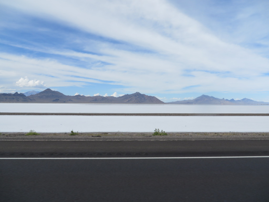
… but I couldn’t help thinking about the fastest Indian out on the Bonneville Salts Flats as we rode by.
Arriving the Peppermill we check in for the night, but before long there is lightening, thunder and rain!
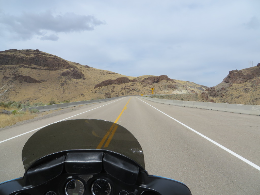
Day 8 – 402 miles. Boots up at 9 a.m. find us making the final run across the Nevada desert with lunch in Winnemucca and a couple of fuel stops. With the warming temperatures, the leathers were shed as we made the final push across I-8o.
Total miles travelled – 2,366 give or take
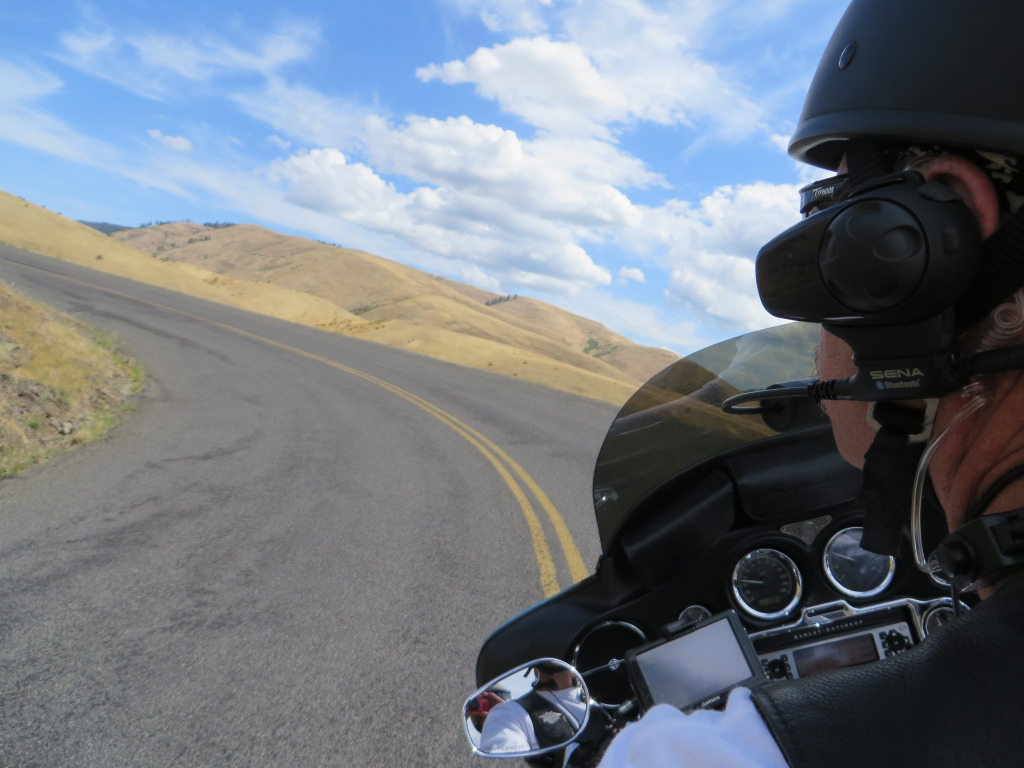
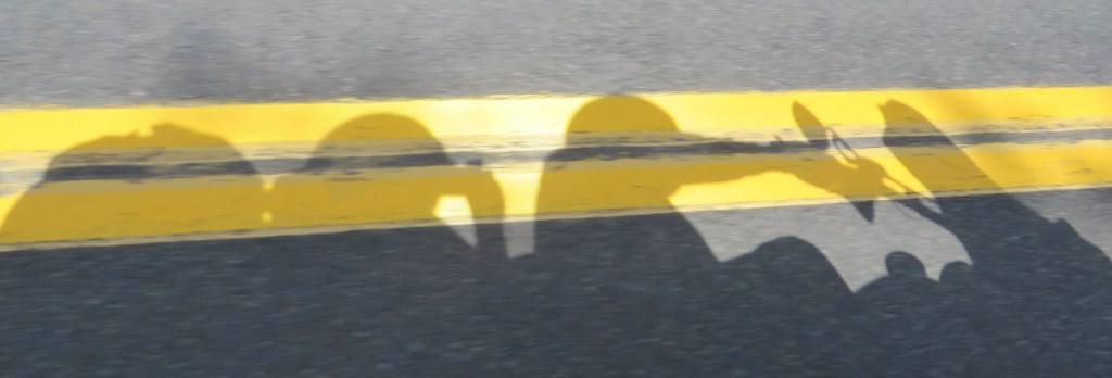
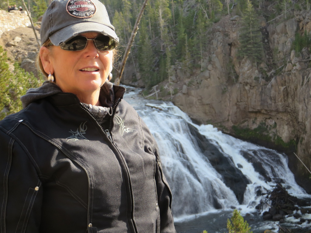
With the exception of two photos of us, all others were taken by Beth and or myself.
